


About renting a car with Budget in Phoenix
Best Car Rental Deals
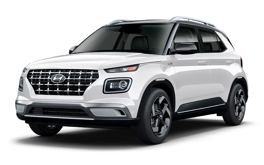
Hyundai Venue | Automatic
SMALLor Small similar

Volkswagen Jetta | Automatic
SEDANor Sedan similar
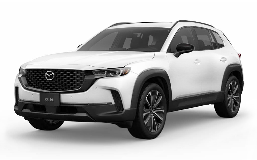
Mazda CX 50 | Automatic
SUVor SUV similar
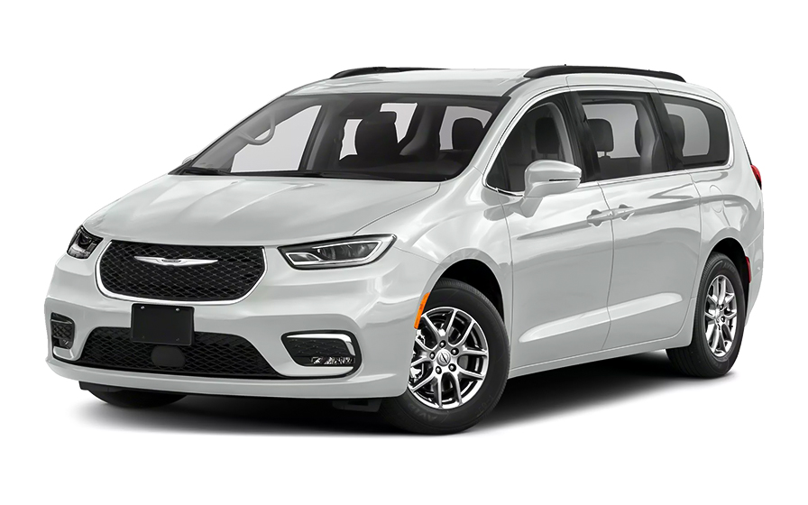
Chrysler Pacifica 7 Passengers | Automatic
MINIVANor Minivan similar
Frequently Asked Questions
What does my Hola Car Rentals booking with Budget in Phoenix include that other companies don't offer?
Hola Car Rentals is the only premium partner of the top car rental brands operating in Phoenix, including Budget, giving you exclusive access to our All Inclusive+ rate. This rate includes benefits that no other company can match:
- Free liability coverage starting at US$ 300,000 in case of an accident (applies only to certain rates and itineraries)
- Toll cashback: recover up to 5% of the reservation's total value for toll charges incurred during your rental period
- Premium travel medical assistance providing up to US$ 150,000 in coverage for a maximum of 5 passengers in case of a medical emergency, excluding pre-existing conditions
- No Extra Charges© guarantee: if the counter charges you for something not listed on your confirmation and not an optional add-on you accepted, Hola Car Rentals will work to remove or reimburse the charge after verification
All of this comes at no extra cost, ensuring a fully protected Budget rental experience and peace of mind throughout your trip in Phoenix.
Will I face unexpected charges at the Budget counter in Phoenix when I book through Hola Car Rentals?
No. With Hola Car Rentals, all costs and charges for your Budget booking in Phoenix are clearly shown at the time of reservation and in your confirmation email, so you know exactly what you are paying before you arrive at the Budget counter.
On top of that, every Hola Car Rentals booking includes the No Extra Charges© guarantee. This is a pricing guarantee (not insurance) that protects you if the Budget counter in Phoenix charges you for something that was not listed on your confirmation and was not an optional add-on you accepted. If that happens, Hola Car Rentals will work with Budget to remove or reimburse the charge after verification.
The only costs outside this guarantee are:
- Optional add-ons you choose at the counter (GPS, child seats, prepaid fuel)
- Usage-based charges (tolls, fuel shortfall, traffic fines)
How do I pick up my Budget rental car at Phoenix Sky Harbor Airport?
All Budget rental cars at Phoenix Sky Harbor Airport (PHX) are located at the Rental Car Center (RCC), a separate facility from the terminals. You do not walk directly from the terminal to the counter.
- After baggage claim, follow overhead signs for "Ground Transportation" and then "PHX Sky Train."
- Take the free PHX Sky Train toward the Rental Car Center. Trains run 24 hours a day, 7 days a week, arriving every 3 to 5 minutes.
- Ride time is approximately 5 minutes from Terminal 3 and 8 to 10 minutes from Terminal 4.
- Exit at the Rental Car Center station and look for the Budget counter inside the shared lobby.
- Complete your paperwork, then follow posted signs to your assigned vehicle area in the parking garage.
Plan for 15 to 30 minutes total from baggage claim to driving away, depending on crowd levels. During peak travel periods at Phoenix Sky Harbor, allow extra time for lines at the Budget counter.
Are there toll roads in Phoenix that affect my Budget rental?
No, there are no toll roads in Phoenix or anywhere in Arizona, so your Budget rental will not incur any toll charges while driving in the Phoenix area.
Unlike states such as Florida, Texas, or California, Arizona does not operate any cashless toll lanes, toll plazas, or congestion zones. You will not need a transponder, an e-Toll program, or any toll pass for driving around Phoenix.
If you plan to drive your Budget rental beyond Arizona into neighboring states that do have tolls, keep in mind that Hola Car Rentals includes Tolls Cashback on all bookings. You can claim up to 5% of your total booking value back for tolls paid during your rental. Submit your claim within 30 days of returning the vehicle by emailing [email protected] with your rental agreement and toll receipts.
What documents do I need to pick up my Budget rental car in Phoenix?
To pick up your Budget rental car in Phoenix, you must bring the following physical documents. Digital copies are not accepted at the counter.
- Valid driver's license (original, unexpired, physical card) in the main driver's name.
- A major credit card with the driver's name printed on the card, in the main driver's name, for the security deposit hold. Debit and prepaid cards are not accepted.
- Valid passport or government-issued photo ID.
- Your booking confirmation or printed voucher.
- Round-trip flight tickets or proof of return travel (required for international visitors).
If your driver's license uses a non-Latin alphabet such as Arabic, Chinese, Japanese, or Cyrillic, an International Driving Permit (IDP) is mandatory alongside your original license at the Phoenix Budget counter. For licenses in other non-English scripts, an IDP is strongly recommended. The IDP is a translation only and cannot be used without your original license.
Make sure all names match across your license, passport, and credit card to avoid issues at the Budget counter in Phoenix.
Does Hola Car Rentals offer Tolls Cashback for Budget rentals starting in Phoenix?
Yes, Hola Car Rentals includes Tolls Cashback on all Budget bookings, including those starting in Phoenix.
Because Arizona has no toll roads, you are unlikely to pay tolls while driving around Phoenix itself. However, if your Budget rental takes you into neighboring states such as California or Nevada, where toll roads do exist, you can claim back up to 5% of your total booking value for tolls paid during the rental period.
To claim your Tolls Cashback after returning your Budget rental in Phoenix or elsewhere:
- Email [email protected] within 30 days of vehicle return.
- Use the subject line: Tolls Cashback - HOLA followed by your confirmation number.
- Attach your Hola Car Rentals reservation confirmation, the signed rental agreement, and a receipt or statement showing the toll charges paid.
Refunds are issued to the original payment method used for your reservation and typically process within 7 to 10 business days after approval. Late submissions received after 30 days are not accepted.
Is a credit card required for the security deposit on a Budget rental in Phoenix?
Yes, a physical major credit card in the main driver's name is required at the Budget counter in Phoenix for the security deposit hold. Debit cards, prepaid cards, and virtual cards are not accepted.
At pickup, Budget will place a temporary authorization hold on your card. For standard vehicles in the United States, this hold is typically around US$300 to US$400, though the exact amount varies by vehicle class, rental duration, and location. The hold reduces your available credit until your bank releases it after the rental ends, which can take up to 15 business days.
- The card must be physical, with the driver's name printed on it.
- The name on the card must match the name on your driver's license and rental agreement.
- Bring a backup credit card in case your primary card is declined.
- If your bank uses fraud controls, set a travel notice before arriving in Phoenix.
Even if you prepaid your Budget booking online, you are still required to present a physical credit card at the Phoenix counter for the deposit hold.
Can I add an additional driver to my Budget rental in Phoenix?
Yes, you can add an additional driver to your Budget rental in Phoenix, either included in your rate or for a fee paid at the counter.
Check your booking confirmation first. If it states "Additional driver free of charge," the first extra driver is covered. If not, Budget charges US$13 per rental day plus taxes, with a maximum charge of US$65 plus taxes for the additional driver.
Requirements for adding a driver at the Phoenix Budget counter:
- The additional driver must be present at pickup with a valid driver's license.
- For Budget in Phoenix, additional drivers must generally be at least 25 years old.
- If the additional driver's license uses a non-Latin alphabet, an IDP is also required.
- Both the main driver and the additional driver must sign the rental agreement.
Only drivers listed on the rental agreement are covered by protections such as CDW/LDW. If someone drives who is not named on the contract, coverage may be void. If you need to add a driver after pickup, visit a Budget branch in Phoenix to update the agreement.
What is the minimum age to rent a Budget car in Phoenix?
The minimum age to rent a Budget car in Phoenix without a young-renter surcharge is 25. Drivers aged 21 to 24 can rent but will be charged an additional daily underage fee.
At Budget in Phoenix, the young-renter surcharge is US$13 per rental day plus taxes, up to a maximum of US$65 plus taxes. Drivers under 25 are also restricted from renting certain vehicle classes, including full-size, SUV, premium, luxury, convertible, minivan, and van categories. Economy, compact, and intermediate vehicles are generally available to drivers aged 21 to 24.
If you are aged 21 to 24 and are a citizen or resident of Latin America or the Caribbean, certain Hola Car Rentals rates fulfilled by Budget may waive the underage fee. This exception applies only when the waiver is explicitly shown on your Hola Car Rentals confirmation and only for eligible vehicle categories. Check your confirmation or contact Hola Car Rentals support to verify eligibility before arriving at the Phoenix Budget counter.
Drivers under 21 cannot rent from Budget in Phoenix.
What insurance coverage is included in my Budget rental booking in Phoenix?
The insurance coverage included in your Budget rental in Phoenix depends on the rate plan selected when booking through Hola Car Rentals. Check your booking confirmation for the specific protections listed.
Common coverages available for Budget rentals in Phoenix include:
- Collision Damage Waiver (CDW) or Loss Damage Waiver (LDW): reduces your financial liability for damage to the rental vehicle from a collision or covered incident. A deductible may apply unless your confirmation states zero deductible.
- Third-Party Liability (LIS/ALI/SLI): covers bodily injury and property damage you may cause to others while driving. In some U.S. states, a minimum liability is included by law; for Phoenix and Arizona, we strongly recommend adding supplemental liability coverage.
CDW/LDW does not cover third-party liability, your personal injuries, or your belongings. These are separate protections. If you are unsure what is included in your Phoenix Budget booking, review the rate details on your Hola Car Rentals confirmation before arriving at the counter.
What is the fuel policy for Budget rentals in Phoenix?
Budget rentals in Phoenix follow a Full-to-Full fuel policy by default. You receive the vehicle with a full tank and must return it full to avoid fuel charges.
- At pickup, check the fuel gauge with the Budget agent and confirm the starting level is recorded on the rental agreement.
- Take a photo of the dashboard showing the odometer and fuel gauge.
- During your rental, use the correct fuel type. Wrong-fuel incidents are not covered by the fuel policy.
- Before returning to the Phoenix Budget location, refuel within approximately 10 miles of the return point so the gauge does not drop below full.
- Keep your final fuel receipt showing the date, time, and station address.
If you return the vehicle below the recorded starting level, Budget may charge you for the fuel shortfall at their refueling rate, which is typically higher than retail pump prices, plus a refueling service fee. Refueling near Phoenix Sky Harbor Airport before returning to the Rental Car Center is the most cost-effective approach. Ask the Budget agent at pickup to recommend the nearest station to the return location.
Can I pick up my Budget rental in Phoenix and return it to a different city?
Yes, one-way rentals are possible with Budget starting in Phoenix, but a drop-off fee may apply depending on your return location.
The drop-off fee is route-specific and varies by destination, vehicle class, and season. It is not included in your prepaid rate and must be paid at the counter in Phoenix. You can see whether a drop-off fee applies during the booking process on the Hola Car Rentals website. It will appear under the "To pay at destination" section on the rate details page before you confirm your reservation.
- Same-city routes (for example, Phoenix airport to Phoenix downtown) often have no drop-off fee.
- Routes between different cities or states typically carry a drop-off fee.
- Cross-border one-way rentals (for example, Phoenix to Mexico) may be restricted or require special authorization from Budget.
If the drop-off fee shown at the Phoenix Budget counter differs from what your booking confirmation states, keep all paperwork and contact Hola Car Rentals support after the rental. The No Extra Charges© guarantee may apply if an undisclosed fee was added.
What happens if my flight to Phoenix is delayed and I miss my Budget pickup time?
If your flight to Phoenix is delayed, Budget will generally hold your reservation for up to 24 hours from the original pickup time, so a short delay should not cause you to lose your booking.
- If the delay is less than 24 hours, your Budget reservation at Phoenix Sky Harbor will be held. Make sure you arrive during the counter's operating hours, as individual desk hours can vary.
- If the delay is greater than 24 hours, contact Hola Car Rentals as soon as possible via WhatsApp at +1 (786) 999-8312 or by email at [email protected]. Changes are not guaranteed but the team will assist where possible.
The PHX Sky Train and the Rental Car Center at Phoenix Sky Harbor operate 24 hours a day, 7 days a week, so late-night arrivals can still reach the Budget counter. However, confirm that the Budget desk itself is staffed at your expected arrival time, as individual brand hours may differ from the facility's overall hours. Your booking confirmation will include the counter contact details for the Phoenix location.
Does my Budget booking in Phoenix include travel assistance or medical coverage?
Yes, most Hola Car Rentals bookings, including Budget rentals in Phoenix, include travel assistance provided by Terrawind Global Protection. However, this benefit does not apply to residents of the United States or Canada.
For eligible travelers, the coverage typically includes:
- Travel insurance with medical coverage for up to 5 passengers.
- Legal assistance in case of a road accident.
- Compensation for luggage lost by the airline.
- Flight cancellation insurance.
If you experience a medical emergency or accident while driving your Budget rental in the Phoenix area, including on highways such as I-10 or I-17, contact the Terrawind assistance line immediately before incurring expenses, as some reimbursements require prior authorization.
- Phone (toll-free): +1 888 980 9992 (available 24/7)
- WhatsApp: +1 208 910 1001
- Email: [email protected]
Have your full name and Hola Car Rentals confirmation number ready when you call. Check your booking confirmation for the exact coverage limits and terms that apply to your Phoenix Budget rental.
How do I return my Budget rental car at Phoenix Sky Harbor Airport?
To return your Budget rental car at Phoenix Sky Harbor Airport, drive back to the Rental Car Center (RCC) at 1805 E. Sky Harbor Circle South, following "Rental Car Return" signs from the surrounding roads.
- Refuel before arriving at the RCC. There are gas stations near Phoenix Sky Harbor; ask the Budget agent at pickup to point out the closest one to the return location, or use Google Maps to find stations within 10 miles of the RCC.
- Follow the Budget return lane signs inside the RCC parking structure.
- A Budget agent will inspect the vehicle and close out your agreement. Keep your final fuel receipt and take a photo of the fuel gauge before handing over the keys.
- After returning the vehicle, board the PHX Sky Train from the top level of the RCC (Level 5 walkway) to return to your terminal. The Sky Train is free and runs 24/7.
If you are returning the vehicle outside of staffed hours, follow the after-hours key drop instructions provided in your Budget rental agreement. Keep all paperwork and photos of the vehicle condition and fuel gauge in case any post-rental charges appear on your statement.

- Choosing a selection results in a full page refresh.
- Opens in a new window.
Suggested Currencies
- $ USD - United States Dollar
- € EUR - Euro
Other Countries
-
 Albania
-
 Algeria
-
 Andorra
-
 Angola
-
 Antigua & Barbuda
-
 Argentina
-
 Australia
-
 Austria
-
 Bahamas
-
 Bahrain
-
 Bangladesh
-
 Barbados
-
 Belgium
-
 Belize
-
 Benin
Benin
-
 Bermuda
-
 Bolivia
-
 Bosnia & Herzegovina
-
 Botswana
-
 Brazil
-
 British Virgin Islands
-
 Bulgaria
-
 Burkina Faso
-
 Burundi
-
 Cameroon
-
 Canada
-
 Cape Verde
-
 Cayman Islands
-
 Central African Republic
-
 Chad
Chad
-
 Chile
Chile
-
 Colombia
-
 Comoros
-
 Congo - Brazzaville
-
 Congo - Kinshasa
-
 Costa Rica
-
 Côte d’Ivoire
-
 Croatia
-
 Curaçao
-
 Cyprus
-
 Czechia
-
 Denmark
-
 Djibouti
-
 Dominica
-
 Dominican Republic
-
 Ecuador
-
 Egypt
Egypt
-
 El Salvador
-
 Equatorial Guinea
-
 Eritrea
-
 Estonia
-
 Eswatini
-
 Ethiopia
-
 Finland
-
 France
-
 Gabon
Gabon
-
 Gambia
-
 Germany
-
 Ghana
Ghana
-
 Greece
-
 Grenada
-
 Guatemala
-
 Guinea
-
 Guinea-Bissau
-
 Guyana
-
 Haiti
Haiti
-
 Honduras
-
 Hong Kong SAR
-
 Hungary
-
 Iceland
-
 India
India
-
 Iraq
Iraq
-
 Ireland
-
 Israel
-
 Italy
Italy
-
 Jamaica
-
 Japan
Japan
-
 Jordan
-
 Kenya
Kenya
-
 Kuwait
-
 Latvia
-
 Lebanon
-
 Lesotho
-
 Liberia
-
 Libya
Libya
-
 Liechtenstein
-
 Lithuania
-
 Luxembourg
-
 Madagascar
-
 Malawi
-
 Mali
Mali
-
 Malta
Malta
-
 Mauritania
-
 Mauritius
-
 Mexico
-
 Moldova
-
 Monaco
-
 Montenegro
-
 Morocco
-
 Mozambique
-
 Namibia
-
 Netherlands
-
 New Zealand
-
 Nicaragua
-
 Niger
Niger
-
 Nigeria
-
 Norway
-
 Oman
Oman
-
 Palestinian Territories
-
 Panama
-
 Paraguay
-
 Peru
Peru
-
 Philippines
-
 Poland
-
 Portugal
-
 Qatar
Qatar
-
 Romania
-
 Russia
-
 Rwanda
-
 San Marino
-
 São Tomé & Príncipe
-
 Saudi Arabia
-
 Senegal
-
 Serbia
-
 Seychelles
-
 Sierra Leone
-
 Singapore
-
 Sint Maarten
-
 Slovakia
-
 Slovenia
-
 Somalia
-
 South Africa
-
 South Korea
-
 South Sudan
-
 Spain
Spain
-
 St. Lucia
-
 St. Vincent & Grenadines
-
 Sudan
Sudan
-
 Sweden
-
 Switzerland
-
 Taiwan
-
 Tanzania
-
 Togo
Togo
-
 Trinidad & Tobago
-
 Tunisia
-
 Türkiye
-
 Turks & Caicos Islands
-
 Uganda
-
 Ukraine
-
 United Arab Emirates
-
 United Kingdom
-
 United States
-
 Uruguay
-
 Vatican City
-
 Venezuela
-
 Yemen
Yemen
-
 Zambia
-
 Zimbabwe
Driving license from:
-
Albania
-
Algeria
-
Andorra
-
Angola
-
Antigua & Barbuda
-
Argentina
-
Australia
-
Austria
-
Bahamas
-
Bahrain
-
Bangladesh
-
Barbados
-
Belgium
-
Belize
-
Benin
-
Bermuda
-
Bolivia
-
Bosnia & Herzegovina
-
Botswana
-
Brazil
-
British Virgin Islands
-
Bulgaria
-
Burkina Faso
-
Burundi
-
Cameroon
-
Canada
-
Cape Verde
-
Cayman Islands
-
Central African Republic
-
Chad
-
Chile
-
Colombia
-
Comoros
-
Congo - Brazzaville
-
Congo - Kinshasa
-
Costa Rica
-
Côte d’Ivoire
-
Croatia
-
Curaçao
-
Cyprus
-
Czechia
-
Denmark
-
Djibouti
-
Dominica
-
Dominican Republic
-
Ecuador
-
Egypt
-
El Salvador
-
Equatorial Guinea
-
Eritrea
-
Estonia
-
Eswatini
-
Ethiopia
-
Finland
-
France
-
Gabon
-
Gambia
-
Germany
-
Ghana
-
Greece
-
Grenada
-
Guatemala
-
Guinea
-
Guinea-Bissau
-
Guyana
-
Haiti
-
Honduras
-
Hong Kong SAR
-
Hungary
-
Iceland
-
India
-
Iraq
-
Ireland
-
Israel
-
Italy
-
Jamaica
-
Japan
-
Jordan
-
Kenya
-
Kuwait
-
Latvia
-
Lebanon
-
Lesotho
-
Liberia
-
Libya
-
Liechtenstein
-
Lithuania
-
Luxembourg
-
Madagascar
-
Malawi
-
Mali
-
Malta
-
Mauritania
-
Mauritius
-
Mexico
-
Moldova
-
Monaco
-
Montenegro
-
Morocco
-
Mozambique
-
Namibia
-
Netherlands
-
New Zealand
-
Nicaragua
-
Niger
-
Nigeria
-
Norway
-
Oman
-
Palestinian Territories
-
Panama
-
Paraguay
-
Peru
-
Philippines
-
Poland
-
Portugal
-
Qatar
-
Romania
-
Russia
-
Rwanda
-
San Marino
-
São Tomé & Príncipe
-
Saudi Arabia
-
Senegal
-
Serbia
-
Seychelles
-
Sierra Leone
-
Singapore
-
Sint Maarten
-
Slovakia
-
Slovenia
-
Somalia
-
South Africa
-
South Korea
-
South Sudan
-
Spain
-
St. Lucia
-
St. Vincent & Grenadines
-
Sudan
-
Sweden
-
Switzerland
-
Taiwan
-
Tanzania
-
Togo
-
Trinidad & Tobago
-
Tunisia
-
Türkiye
-
Turks & Caicos Islands
-
Uganda
-
Ukraine
-
United Arab Emirates
-
United Kingdom
-
United States
-
Uruguay
-
Vatican City
-
Venezuela
-
Yemen
-
Zambia
-
Zimbabwe