


About renting a car with National in Alberta
Best Car Rental Deals
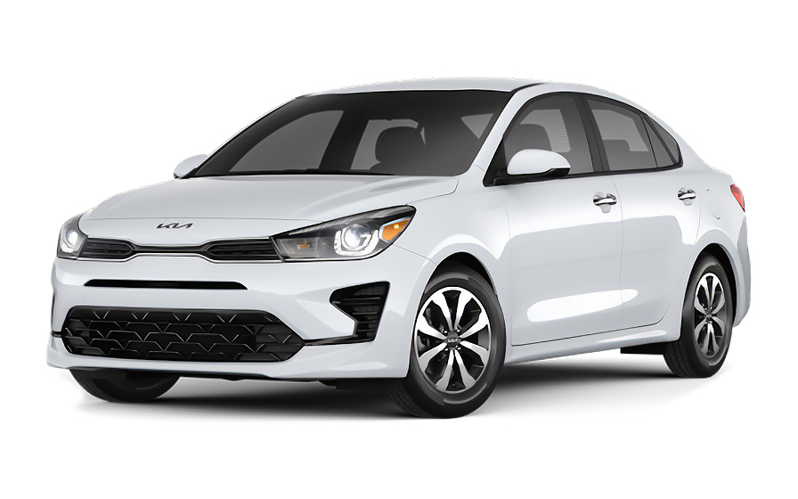
Kia Rio | Automatic
SMALLor Small similar
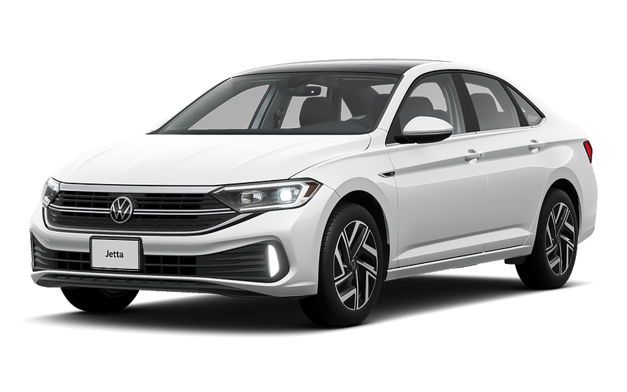
Volkswagen Jetta | Automatic
SEDANor Sedan similar
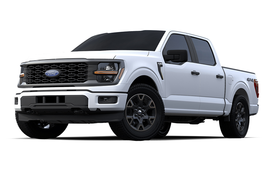
Ford F150 | Automatic
PICKUPor Pickup similar
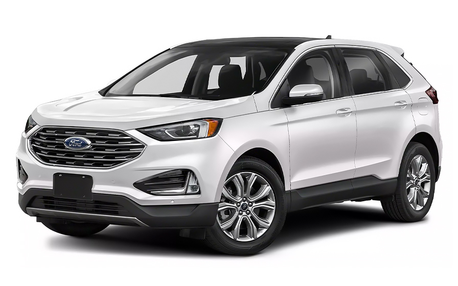
Ford Edge | Automatic
SUVor SUV similar
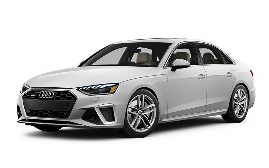
Audi A4 | Automatic
LUXURYor Luxury similar
Frequently Asked Questions
What does my Hola Car Rentals booking with National in Alberta include that other companies don't offer?
Hola Car Rentals is a premium partner of the leading car rental companies in Alberta, including National, giving you exclusive access to our All Inclusive+ rate. This rate includes extra benefits that no other company can match:
- Full vehicle coverage with no deductible (applies only for certain rates and itineraries)
- Toll cashback: get back up to 5% of your total booking value for tolls charged during your rental
- Premium travel medical assistance for up to 5 passengers in case of emergency, covering up to CAD 200,000 (pre-existing conditions excluded)
- No Extra Charges© guarantee: if the counter charges you for something not listed on your confirmation and not an optional add-on you accepted, Hola Car Rentals will work to remove or reimburse the charge after verification
All at no additional cost, ensuring a unique National rental experience with complete protection and peace of mind during your trip in Alberta.
Will I face unexpected charges at the National counter in Alberta when I book through Hola Car Rentals?
No. With Hola Car Rentals, all costs and charges for your National booking in Alberta are clearly shown at the time of reservation and in your confirmation email, so you know exactly what you are paying before you arrive at the National counter.
On top of that, every Hola Car Rentals booking includes the No Extra Charges© guarantee. This is a pricing guarantee (not insurance) that protects you if the National counter in Alberta charges you for something that was not listed on your confirmation and was not an optional add-on you accepted. If that happens, Hola Car Rentals will work with National to remove or reimburse the charge after verification.
The only costs outside this guarantee are:
- Optional add-ons you choose at the counter (GPS, child seats, prepaid fuel)
- Usage-based charges (tolls, fuel shortfall, traffic fines)
Are there toll roads in Alberta with a National rental car?
No, there are no toll roads anywhere in Alberta, so you will not encounter any toll charges during your National rental in Alberta.
Unlike other Canadian provinces or U.S. states, Alberta has no toll highways, cashless toll lanes, congestion charges, or emissions zones. Programs such as E-ZPass, 407 ETR, or any transponder-based system do not operate here. Every road and highway in the province, including major routes like Deerfoot Trail and the QEII Highway, is completely free to drive.
This means you will not need to enroll in any toll program at the National counter, and no toll-related fees or administrative charges will appear on your final rental invoice for travel within Alberta.
If your trip takes you beyond Alberta into a neighboring province that does have toll roads, Hola Car Rentals includes Tolls Cashback on all bookings, allowing you to recover up to 5% of your total booking value for tolls paid during the rental period.
What documents do I need to pick up a National rental car in Alberta?
To collect your National rental car in Alberta, you must present the following physical documents at the counter:
- A valid, original driver's license in the main driver's name. If your license is not in English and does not use a Latin alphabet (for example, Arabic, Chinese, Japanese, or Cyrillic script), an International Driving Permit (IDP) is mandatory alongside your original license.
- A major credit card with the driver's name printed on the physical card, used for the security deposit hold. Debit, prepaid, and virtual cards are not accepted for the deposit.
- A valid passport or government-issued photo ID.
- Your booking confirmation or printed voucher.
- Round-trip flight or cruise tickets (required for visitors traveling from abroad).
All documents must be physical originals. Digital copies shown on a phone or tablet are not accepted at any National counter in Alberta.
If your license is in English or uses a Latin alphabet, an IDP is recommended but not strictly mandatory for renting in Alberta. Obtain any IDP before leaving your home country, as it cannot be issued abroad.
How does the Emerald Aisle pickup work at National in Alberta airports?
At participating National locations in Alberta, Emerald Club members can use the Emerald Aisle self-service pickup process, bypassing the counter entirely.
At Calgary International Airport (YYC) and Edmonton International Airport (YEG), enrolled Emerald Club members proceed directly to the designated Emerald Aisle area in the National lot, choose any available vehicle from the selection of makes, models, and colors on display, and drive out without waiting at the counter.
If you are not an Emerald Club member, or if you are picking up at a non-airport National location in Alberta such as the Downtown Calgary branch at 129 17 Ave SE, you will need to go to the counter to complete the rental agreement and collect your keys.
Note that Hola Car Rentals does not support linking or applying Emerald Club membership numbers through the booking process, so any membership benefits are managed directly with National at the counter or through your Emerald Club account.
Does Hola Car Rentals offer Tolls Cashback for National rentals in Alberta?
Yes, Hola Car Rentals includes Tolls Cashback on all National rental bookings in Alberta, even though Alberta itself has no toll roads.
If your itinerary takes you outside Alberta into a province or region where toll roads exist, you can claim back up to 5% of your total Hola Car Rentals booking value for tolls paid during the rental period.
To claim your cashback after returning your National vehicle:
- Email [email protected] within 30 days of returning the car.
- Use the subject line: Tolls Cashback, followed by your reservation number (for example, HOLA1000000).
- Attach your Hola Car Rentals booking confirmation, the signed rental agreement from the National counter, and a receipt or statement showing the toll charges paid.
- Include your full name, travel dates, and the last 4 digits of the card used for your booking.
Refunds are processed to your original payment method and typically arrive within 7 to 10 business days after approval. Submissions received after 30 days are not eligible.
How much is the security deposit for a National rental car in Alberta?
When you pick up your National rental car in Alberta, the counter will place a temporary authorization hold on your credit card as a security deposit. For standard vehicles rented in Canada, this hold is typically between CAUS$ 300 and CAUS$ 500, though some National locations may require a minimum authorization of approximately CAUS$ 750.
The exact amount depends on the specific Alberta location, the vehicle class you are renting, and the length of the rental. Premium or specialty vehicles may carry a higher hold.
Important points to keep in mind:
- The hold is a temporary authorization, not a charge. It reduces your available credit until released after you return the vehicle.
- Your bank controls how quickly the hold disappears from your statement after release, which can take up to 15 business days.
- You must present a physical major credit card with your name printed on it. Debit cards, prepaid cards, and virtual cards are not accepted for the deposit at any National counter in Alberta.
- Bring a backup credit card in case your primary card is declined.
What is the fuel policy for National car rentals in Alberta?
National rentals in Alberta follow a Full-to-Full fuel policy. You receive the vehicle with a full tank and must return it full to avoid additional charges.
To protect yourself from any fuel disputes:
- At pickup, check the fuel gauge with the National agent and confirm the starting level is recorded on the rental agreement.
- Take a photo of the dashboard showing the odometer and fuel gauge before leaving the lot.
- Refuel within approximately 15 km of the return location so the gauge does not drop before you arrive.
- Keep your final fuel receipt showing the date, time, and station address.
- For after-hours returns at locations such as Downtown Calgary (129 17 Ave SE), leave the receipt in the key drop envelope and keep a photo of the full gauge.
If you return the vehicle below the recorded starting level, National may charge you for the fuel shortfall at their refueling rate, which is typically higher than pump prices, plus an administrative service fee. Returning the tank full is always the most cost-effective option for your Alberta rental.
Can I add an additional driver to my National rental in Alberta?
Yes, you can add an additional driver to your National rental in Alberta, either as part of your rate or by paying a fee at the counter.
For National, Alamo, and Enterprise bookings, the additional driver fee is US$15 per day plus applicable taxes when not included in your rate. Check your booking confirmation for the line that reads "Additional driver free of charge" to see if it is already covered.
Requirements for adding a driver at any National counter in Alberta:
- The additional driver must be physically present at the counter at pickup.
- They must present a valid driver's license and meet the minimum age requirements for Alberta.
- If their license is not in English or does not use a Latin alphabet, they will also need an International Driving Permit.
- Both the main driver and the additional driver must sign the rental agreement.
Only drivers listed on the National rental agreement are covered by the vehicle's protections, including CDW and liability coverage. Anyone who drives the car in Alberta without being named on the contract may void those protections.
What insurance coverage is included in a National rental in Alberta?
When renting with National in Alberta, the insurance and liability protections included in your booking depend on the rate plan you selected through Hola Car Rentals.
Under Canadian law, every rental vehicle in Alberta must carry third-party liability coverage by default. This statutory liability is included when you rent in Canada through Hola Car Rentals, protecting you against bodily injury and property damage you may cause to others. You can also purchase higher supplemental liability limits at the National counter.
Collision Damage Waiver (CDW) or Loss Damage Waiver (LDW) reduces your financial responsibility for damage to the National vehicle itself. Check your booking confirmation to see if CDW is included and whether a deductible applies.
Key points to review at the National counter in Alberta:
- Confirm CDW and liability coverage appear on the rental agreement before signing.
- Note the deductible amount, if any, for damage claims.
- CDW does not cover tires, undercarriage, or prohibited use such as off-road driving.
- Only drivers named on the agreement are covered.
CDW does not cover third-party injuries or property damage to others. That is handled separately by liability coverage.
Does travel assistance cover a breakdown in a remote area of Alberta with National?
Yes, most Hola Car Rentals bookings include travel assistance provided by Terrawind Global Protection, which can be useful if you experience a medical emergency or need legal assistance following an accident while driving your National rental in Alberta's more remote areas, such as the routes near Fort McMurray or Grande Prairie.
Core benefits typically include:
- Travel and medical coverage for up to 5 passengers.
- Legal assistance in the event of an accident.
- Compensation for baggage lost by the airline.
- Flight cancellation insurance.
To reach assistance 24 hours a day, 7 days a week:
- Call: +1 888 980 9992 (toll-free or collect).
- WhatsApp: +1 208 910 1001.
- Email: [email protected].
Provide your full name, your Hola Car Rentals confirmation number, your location in Alberta, and a description of the situation. Follow the coordinator's instructions and keep all receipts and reports.
Important: this travel assistance benefit does not apply to Canadian or U.S. residents. It is designed for travelers visiting Alberta from outside North America. It also does not cover damage to the National rental vehicle itself, which is handled by CDW.
Can I pick up a National car in Calgary and return it in Edmonton, Alberta?
Yes, one-way rentals between National locations within Alberta are generally possible, for example picking up at Calgary International Airport (YYC) and returning at Edmonton International Airport (YEG).
A drop-off fee may apply for this type of one-way rental. The fee is route-specific and varies by vehicle class, season, and the distance between locations. It is set by National and is not included in the base rental rate.
How to check and manage the drop-off fee:
- During the Hola Car Rentals booking process, select your different pickup and return locations. If a drop-off fee applies, it will appear on the rate details page under the "To pay at destination" section.
- Review your booking confirmation to verify the fee is listed there as well.
- At the National counter in Alberta, confirm the drop-off fee matches what your confirmation shows before signing the agreement.
If the counter charges a different amount than what was disclosed on your confirmation, keep all paperwork and contact Hola Car Rentals support after the rental. The No Extra Charges© guarantee can help resolve undisclosed fees.
Cross-border one-way rentals, such as returning a National vehicle from Alberta to a U.S. location, may be restricted or carry significantly higher fees. Confirm with National before booking.
What are the after-hours return instructions for National in Alberta?
After-hours return procedures for National locations in Alberta vary by site. At the Downtown Calgary branch (129 17 Ave SE), you can return the vehicle outside staffed hours by using the key drop box located to the right of the front door.
Steps for an after-hours return at a National location in Alberta:
- Refuel the vehicle before returning so the tank matches the level recorded on your rental agreement.
- Take a photo of the dashboard showing the fuel gauge and odometer before leaving the car.
- Lock the vehicle and place the keys in the drop box.
- Keep your fuel receipt and any paperwork. If an envelope is provided, place the receipt inside before dropping the keys.
- Note that the vehicle remains your responsibility until the National branch opens and processes the return.
For airport National locations in Alberta such as Calgary YYC and Edmonton YEG, after-hours key drop facilities are typically available in the rental lot. Follow the signage in the National return area and confirm the process with the agent at pickup if you anticipate a late return.
Counter hours at the Downtown Calgary National branch are generally Monday to Friday 7:30 AM to 6:00 PM and Saturday to Sunday 9:00 AM to 5:00 PM, though these can change on holidays.
Is there a young driver surcharge for National rentals in Alberta?
Yes, a young driver surcharge typically applies to renters under 25 years old at National locations in Alberta, though the exact amount is set by National at the counter and may vary by location and vehicle class.
For National, Alamo, and Enterprise rentals, the additional driver fee for a young driver is US$15 per day plus applicable local taxes when it is not included in your rate. This fee applies on top of the base rental rate and is paid directly at the National counter in Alberta at pickup.
Key points to keep in mind:
- The minimum age to rent from National in Alberta is generally 21, but drivers under 25 will typically incur a young driver surcharge.
- The surcharge applies to both the main driver and any additional driver who is under 25.
- The fee is not included in your prepaid Hola Car Rentals booking total and will appear as a separate charge on your rental agreement.
- Confirm the exact surcharge amount with the National agent at the Alberta counter before signing the agreement.
If you are under 25 and planning to rent in Alberta, Budget for this additional daily fee when comparing total rental costs.
What airport fees and taxes should I expect at National locations in Alberta?
When picking up a National rental car at an Alberta airport such as Calgary International Airport (YYC) or Edmonton International Airport (YEG), your total cost will include provincial and federal taxes as well as airport-specific fees that are added on top of the base rental rate.
Common charges to expect at National airport counters in Alberta:
- Federal GST (Goods and Services Tax) applied to the rental.
- Airport concession recovery fees, which rental companies charge to offset the cost of operating at the airport.
- Customer facility charges, where applicable.
- Any tourism or provincial surcharges in effect at the time of rental.
Your Hola Car Rentals booking confirmation will clearly show which taxes and fees are included in your prepaid rate and which are listed under "To pay at destination." Items marked as included should not be charged again at the National counter in Alberta. If they are, the No Extra Charges© guarantee covers you.
Off-airport National locations in Alberta, such as the Downtown Calgary branch on 17th Ave SE, may carry lower airport-related fees, though the base rate and other taxes still apply. Always review the full breakdown on your confirmation before arriving at the counter.
RENTAL CAR LOCATIONS

- Choosing a selection results in a full page refresh.
- Opens in a new window.
Suggested Currencies
- $ USD - United States Dollar
- € EUR - Euro
Other Countries
-
 Albania
-
 Algeria
-
 Andorra
-
 Angola
-
 Antigua & Barbuda
-
 Argentina
-
 Australia
-
 Austria
-
 Bahamas
-
 Bahrain
-
 Bangladesh
-
 Barbados
-
 Belgium
-
 Belize
-
 Benin
Benin
-
 Bermuda
-
 Bolivia
-
 Bosnia & Herzegovina
-
 Botswana
-
 Brazil
-
 British Virgin Islands
-
 Bulgaria
-
 Burkina Faso
-
 Burundi
-
 Cameroon
-
 Canada
-
 Cape Verde
-
 Cayman Islands
-
 Central African Republic
-
 Chad
Chad
-
 Chile
Chile
-
 Colombia
-
 Comoros
-
 Congo - Brazzaville
-
 Congo - Kinshasa
-
 Costa Rica
-
 Côte d’Ivoire
-
 Croatia
-
 Curaçao
-
 Cyprus
-
 Czechia
-
 Denmark
-
 Djibouti
-
 Dominica
-
 Dominican Republic
-
 Ecuador
-
 Egypt
Egypt
-
 El Salvador
-
 Equatorial Guinea
-
 Eritrea
-
 Estonia
-
 Eswatini
-
 Ethiopia
-
 Finland
-
 France
-
 Gabon
Gabon
-
 Gambia
-
 Germany
-
 Ghana
Ghana
-
 Greece
-
 Grenada
-
 Guatemala
-
 Guinea
-
 Guinea-Bissau
-
 Guyana
-
 Haiti
Haiti
-
 Honduras
-
 Hong Kong SAR
-
 Hungary
-
 Iceland
-
 India
India
-
 Iraq
Iraq
-
 Ireland
-
 Israel
-
 Italy
Italy
-
 Jamaica
-
 Japan
Japan
-
 Jordan
-
 Kenya
Kenya
-
 Kuwait
-
 Latvia
-
 Lebanon
-
 Lesotho
-
 Liberia
-
 Libya
Libya
-
 Liechtenstein
-
 Lithuania
-
 Luxembourg
-
 Madagascar
-
 Malawi
-
 Mali
Mali
-
 Malta
Malta
-
 Mauritania
-
 Mauritius
-
 Mexico
-
 Moldova
-
 Monaco
-
 Montenegro
-
 Morocco
-
 Mozambique
-
 Namibia
-
 Netherlands
-
 New Zealand
-
 Nicaragua
-
 Niger
Niger
-
 Nigeria
-
 Norway
-
 Oman
Oman
-
 Palestinian Territories
-
 Panama
-
 Paraguay
-
 Peru
Peru
-
 Philippines
-
 Poland
-
 Portugal
-
 Qatar
Qatar
-
 Romania
-
 Russia
-
 Rwanda
-
 San Marino
-
 São Tomé & Príncipe
-
 Saudi Arabia
-
 Senegal
-
 Serbia
-
 Seychelles
-
 Sierra Leone
-
 Singapore
-
 Sint Maarten
-
 Slovakia
-
 Slovenia
-
 Somalia
-
 South Africa
-
 South Korea
-
 South Sudan
-
 Spain
Spain
-
 St. Lucia
-
 St. Vincent & Grenadines
-
 Sudan
Sudan
-
 Sweden
-
 Switzerland
-
 Taiwan
-
 Tanzania
-
 Togo
Togo
-
 Trinidad & Tobago
-
 Tunisia
-
 Türkiye
-
 Turks & Caicos Islands
-
 Uganda
-
 Ukraine
-
 United Arab Emirates
-
 United Kingdom
-
 United States
-
 Uruguay
-
 Vatican City
-
 Venezuela
-
 Yemen
Yemen
-
 Zambia
-
 Zimbabwe
Driving license from:
-
Albania
-
Algeria
-
Andorra
-
Angola
-
Antigua & Barbuda
-
Argentina
-
Australia
-
Austria
-
Bahamas
-
Bahrain
-
Bangladesh
-
Barbados
-
Belgium
-
Belize
-
Benin
-
Bermuda
-
Bolivia
-
Bosnia & Herzegovina
-
Botswana
-
Brazil
-
British Virgin Islands
-
Bulgaria
-
Burkina Faso
-
Burundi
-
Cameroon
-
Canada
-
Cape Verde
-
Cayman Islands
-
Central African Republic
-
Chad
-
Chile
-
Colombia
-
Comoros
-
Congo - Brazzaville
-
Congo - Kinshasa
-
Costa Rica
-
Côte d’Ivoire
-
Croatia
-
Curaçao
-
Cyprus
-
Czechia
-
Denmark
-
Djibouti
-
Dominica
-
Dominican Republic
-
Ecuador
-
Egypt
-
El Salvador
-
Equatorial Guinea
-
Eritrea
-
Estonia
-
Eswatini
-
Ethiopia
-
Finland
-
France
-
Gabon
-
Gambia
-
Germany
-
Ghana
-
Greece
-
Grenada
-
Guatemala
-
Guinea
-
Guinea-Bissau
-
Guyana
-
Haiti
-
Honduras
-
Hong Kong SAR
-
Hungary
-
Iceland
-
India
-
Iraq
-
Ireland
-
Israel
-
Italy
-
Jamaica
-
Japan
-
Jordan
-
Kenya
-
Kuwait
-
Latvia
-
Lebanon
-
Lesotho
-
Liberia
-
Libya
-
Liechtenstein
-
Lithuania
-
Luxembourg
-
Madagascar
-
Malawi
-
Mali
-
Malta
-
Mauritania
-
Mauritius
-
Mexico
-
Moldova
-
Monaco
-
Montenegro
-
Morocco
-
Mozambique
-
Namibia
-
Netherlands
-
New Zealand
-
Nicaragua
-
Niger
-
Nigeria
-
Norway
-
Oman
-
Palestinian Territories
-
Panama
-
Paraguay
-
Peru
-
Philippines
-
Poland
-
Portugal
-
Qatar
-
Romania
-
Russia
-
Rwanda
-
San Marino
-
São Tomé & Príncipe
-
Saudi Arabia
-
Senegal
-
Serbia
-
Seychelles
-
Sierra Leone
-
Singapore
-
Sint Maarten
-
Slovakia
-
Slovenia
-
Somalia
-
South Africa
-
South Korea
-
South Sudan
-
Spain
-
St. Lucia
-
St. Vincent & Grenadines
-
Sudan
-
Sweden
-
Switzerland
-
Taiwan
-
Tanzania
-
Togo
-
Trinidad & Tobago
-
Tunisia
-
Türkiye
-
Turks & Caicos Islands
-
Uganda
-
Ukraine
-
United Arab Emirates
-
United Kingdom
-
United States
-
Uruguay
-
Vatican City
-
Venezuela
-
Yemen
-
Zambia
-
Zimbabwe