


About renting a car with Alamo in Calgary
Best Car Rental Deals
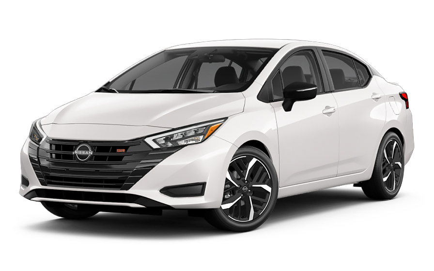
Nissan Versa | Automatic
SMALLor Small similar
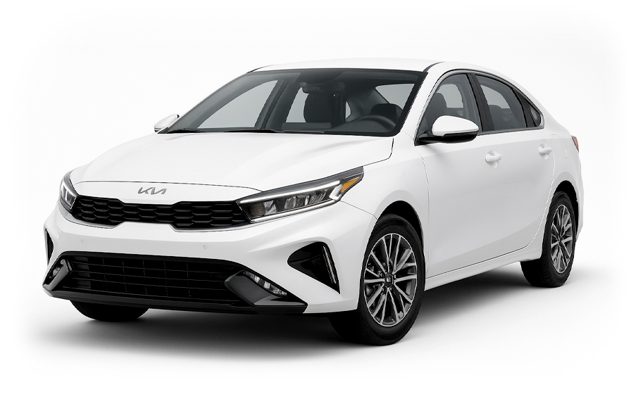
Kia Forte | Automatic
SEDANor Sedan similar
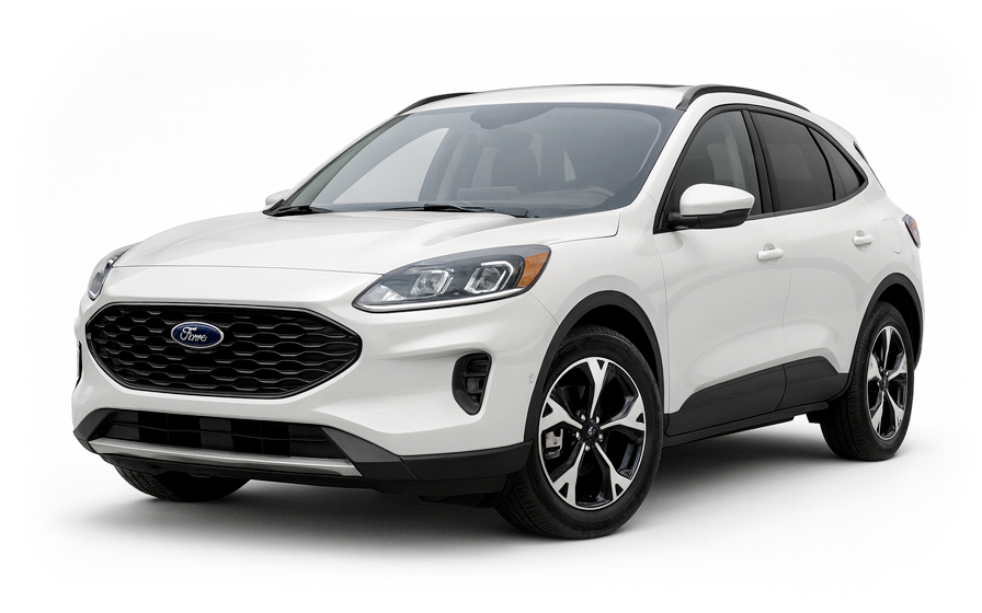
Ford Escape | Automatic
SUVor SUV similar
Frequently Asked Questions
What does my Hola Car Rentals booking with Alamo in Calgary include that other companies don't offer?
Hola Car Rentals is a premium partner of the leading car rental companies in Calgary, including Alamo, giving you exclusive access to our All Inclusive+ rate. This rate includes extra benefits that no other company can match:
- Full vehicle coverage with no deductible (applies only for certain rates and itineraries)
- Toll cashback: get back up to 5% of your total booking value for tolls charged during your rental
- Premium travel medical assistance for up to 5 passengers in case of emergency, covering up to CAD 200,000 (pre-existing conditions excluded)
- No Extra Charges© guarantee: if the counter charges you for something not listed on your confirmation and not an optional add-on you accepted, Hola Car Rentals will work to remove or reimburse the charge after verification
All at no additional cost, ensuring a unique Alamo rental experience with complete protection and peace of mind during your trip in Calgary.
Will I face unexpected charges at the Alamo counter in Calgary when I book through Hola Car Rentals?
No. With Hola Car Rentals, all costs and charges for your Alamo booking in Calgary are clearly shown at the time of reservation and in your confirmation email, so you know exactly what you are paying before you arrive at the Alamo counter.
On top of that, every Hola Car Rentals booking includes the No Extra Charges© guarantee. This is a pricing guarantee (not insurance) that protects you if the Alamo counter in Calgary charges you for something that was not listed on your confirmation and was not an optional add-on you accepted. If that happens, Hola Car Rentals will work with Alamo to remove or reimburse the charge after verification.
The only costs outside this guarantee are:
- Optional add-ons you choose at the counter (GPS, child seats, prepaid fuel)
- Usage-based charges (tolls, fuel shortfall, traffic fines)
Where is the Alamo counter at Calgary International Airport?
The Alamo counter at Calgary International Airport (YYC) is located in the Rental Car Centre on level 3 of the parkade, directly across from the airport departures level. All Alamo vehicles at Calgary airport are picked up and dropped off on-airport, so no off-site shuttle to a remote lot is required.
Once you arrive at YYC, follow the signs toward the parkade and head to level 3. At the Alamo counter you can complete your rental agreement and collect your keys. Alternatively, if you activated Skip the Counter or Accelerated Check-in online before your trip, you can proceed directly to your vehicle on the lot and simply show your agreement and license at the exit booth.
Alamo counter hours at Calgary airport are 07:30 to 23:59 daily. After-hours vehicle returns are available; park as directed and use the key dropbox.
What are the Alamo counter hours at Calgary airport and the downtown location?
Alamo operates two locations in Calgary, each with different hours.
- Calgary International Airport (YYC), 2000 Airport Road NE: open 07:30 to 23:59 daily, with after-hours key drop available for returns.
- Downtown Calgary, 129 17 Ave SE: open Monday to Friday 08:00 to 17:00, Saturday 09:00 to 12:00, and closed on Sunday. After-hours returns are available by parking as instructed and dropping keys in the dropbox.
If your flight lands late, the Alamo airport counter in Calgary remains open until midnight, making it the more flexible option for evening arrivals. If you plan to pick up at the downtown location, confirm your arrival time fits within the weekday or Saturday window to avoid finding the counter closed.
For flight delays of less than 24 hours, Alamo will hold your Calgary reservation. If a delay exceeds 24 hours, contact your booking provider promptly to discuss options.
Are there toll roads on Alamo rentals in Calgary and Alberta?
No, there are no toll roads anywhere in Alberta, so driving your Alamo rental in Calgary or anywhere else in the province will not generate any toll charges. Alberta has no toll highways, no cashless toll lanes, no congestion charges, and no emissions zones similar to those found in other Canadian provinces or international cities.
This means you will not need a transponder, a toll pass, or any toll program when driving your Alamo vehicle around Calgary, on Deerfoot Trail, Stoney Trail, the Trans-Canada Highway, or any other Alberta road.
If you plan to drive your Alamo rental from Calgary into a neighboring province such as British Columbia, be aware that some routes in other provinces may have tolls. In that case, the Hola Car Rentals Tolls Cashback benefit can reimburse you up to 5% of your total booking value for tolls paid during the rental. Submit your claim with your rental agreement and toll receipts to [email protected] within 30 days of returning the vehicle.
What airport fees and taxes are added to an Alamo rental at Calgary YYC?
When you pick up an Alamo rental at Calgary International Airport (YYC), several local fees and taxes are added on top of the base rate. These are standard charges at the Calgary airport and apply regardless of which rental brand you choose.
- Airport Improvement Fee: approximately 12% of the rental rate.
- Concession Recovery Fee: approximately 5% to 8% (roughly CAD 10 to CAD 20 per day), which covers the cost of operating at the airport.
- City of Calgary vehicle rental tax: approximately 3%.
- Federal GST: 5%, applied to the total.
Alberta does not have a provincial sales tax (PST), which makes Calgary airport rentals somewhat less expensive than equivalent rentals in provinces like Ontario, where an additional 8% PST applies.
If you pick up your Alamo rental at the downtown Calgary location (129 17 Ave SE) instead of the airport, you avoid the airport-specific fees, which can reduce the total cost by roughly 20% to 30% compared to an equivalent airport booking. Your booking confirmation will show which fees are included in your prepaid rate and which are due at the counter.
What documents do I need to pick up my Alamo rental in Calgary?
To collect your Alamo rental in Calgary, you must bring the following physical documents. Digital copies are not accepted at the counter.
- A valid, unexpired driver's license with a photograph. Visitors who reside in the US or Canada can generally drive on their foreign license; however, if your license uses a non-Latin alphabet (such as Arabic, Chinese, Japanese, or Cyrillic), you must also carry an International Driving Permit (IDP) as a translation alongside the original license.
- A major credit card in the main driver's name, with the driver's name printed on the physical card. This is required for the security deposit hold. Debit cards and prepaid cards are not accepted for the deposit.
- A valid passport or government-issued photo ID.
- Your booking confirmation or printed voucher.
- Round-trip flight or travel tickets (required for visitors from outside Canada).
The IDP is a translation document only and cannot be used without the original license. If you think you may need one, obtain it in your home country before traveling to Calgary, as it cannot be issued abroad.
All named drivers on the Alamo agreement must be present at the Calgary counter with their own valid license and ID.
How much is the security deposit for an Alamo rental in Calgary?
When you pick up your Alamo rental in Calgary, the counter will place a temporary authorization hold on your credit card. This hold is not a charge; it reduces your available credit until it is released after you return the vehicle.
For Alamo rentals in Canada, the typical hold is approximately CAD 300 to CAD 500, though some Calgary locations may authorize up to CAD 750 depending on the vehicle class, rental duration, and season. Premium or larger vehicles may carry a higher hold.
A few important points to keep in mind:
- The hold must be placed on a major credit card in the main driver's name, with the driver's name printed on the physical card. Debit cards and prepaid cards are not accepted.
- Even if you prepaid your Alamo booking online, you still need to present a physical credit card at the Calgary counter for the deposit.
- After you return the vehicle, Alamo releases the hold, but your bank controls when it reappears in your available balance. This can take up to 15 business days.
- Notify your bank of your travel dates to prevent the authorization from being flagged as suspicious.
Can I add an additional driver to my Alamo rental in Calgary?
Yes, you can add an additional driver to your Alamo rental in Calgary, either as part of your rate or by paying a fee at the counter.
For Alamo rentals in Calgary, the additional driver fee is US$15 per day plus applicable taxes when it is not already included in your rate. Check your booking confirmation for the line that reads "Additional driver free of charge" to see whether your rate covers this.
Requirements for adding a driver at the Calgary Alamo counter:
- The additional driver must be present at the counter at the time of pickup.
- They must present a valid driver's license and any required ID.
- If their license uses a non-Latin alphabet, they must also carry an International Driving Permit.
- Both the main driver and the additional driver must sign the rental agreement.
Only drivers listed on the Alamo rental agreement are covered by the vehicle's protections such as CDW/LDW. If someone drives who is not named on the contract, coverage may be void. If you need to add a driver after pickup, visit the Calgary Alamo branch to update the agreement in person.
Can I pick up my Alamo rental in Calgary and return it in a different city?
Yes, one-way rentals are possible with Alamo in Calgary. Vehicles rented in Canada can generally be driven throughout Canada and into the United States, but not into Mexico.
If a drop-off fee applies to your Calgary Alamo booking, it will be disclosed during the booking process under the "To pay at destination" section and will also appear on your confirmation. This fee is paid at pickup and cannot be prepaid online.
A few things to keep in mind for one-way rentals from Calgary:
- Same-city returns (for example, picking up at Calgary airport and returning to the downtown Alamo location at 129 17 Ave SE) often carry no drop-off fee, but always verify during booking.
- Returns to a different city or province typically incur a one-way fee that varies by distance, vehicle class, and season.
- Cross-border one-ways between Canada and the US may be permitted but can carry higher fees or restrictions depending on the vehicle class.
- Changing your return location after booking may reprice the rental and recalculate the drop-off fee.
Always confirm the return location on your Alamo rental agreement matches your intended drop-off point to avoid unexpected charges.
Does Alamo include liability insurance in Calgary rentals?
Yes, third-party liability coverage is included by default on Alamo rentals in Calgary. Under Canadian provincial law, every rental vehicle in Alberta must carry third-party liability insurance, so this statutory coverage follows the car automatically when you rent through Alamo in Calgary.
However, the included statutory liability may be at the minimum level required by Alberta law. You can purchase supplemental liability insurance (LIS/ALI/SLI) to increase your coverage limits, which is available as an add-on at the Alamo counter in Calgary or through your booking.
It is also important to understand what liability coverage does and does not include:
- It covers bodily injury and property damage you may cause to other people while driving the Alamo rental.
- It does not cover damage to the rental vehicle itself. For that, you need CDW/LDW.
- It does not cover your own injuries (that requires Personal Accident Insurance) or your belongings (Personal Effects Coverage).
Review your Alamo rental agreement at the Calgary counter to confirm the exact liability limits and any territory restrictions before driving away.
What is the fuel policy for Alamo rentals in Calgary?
Alamo rentals in Calgary follow a Full-to-Full fuel policy by default. You receive the vehicle with a full tank and must return it full to avoid fuel charges.
Steps to follow for a smooth fuel return in Calgary:
- At pickup, check the fuel gauge with the Alamo agent and confirm the starting level is recorded on the rental agreement. Take a photo of the dashboard.
- During your rental, use the correct fuel type as shown in the vehicle. Alberta fuel prices are typically 10% to 15% below the Canadian National average, so filling up in Calgary is generally cost-effective.
- Before returning the vehicle, refuel within approximately 15 km of the return location (the airport or the downtown Alamo site at 129 17 Ave SE) so the gauge does not drop below full en route.
- Keep your final fuel receipt. For after-hours returns, leave a copy in the key envelope and keep a photo of the full gauge.
If you return the Alamo vehicle in Calgary with less than a full tank, you may be charged for the fuel shortfall at the partner's refueling rate, which is typically higher than the pump price, plus a refueling service fee. Returning full is always the best value.
What driving rules should I know before picking up my Alamo rental in Calgary?
Calgary has several road characteristics that can surprise first-time drivers, especially those arriving from outside Canada.
- Speed limits are posted in kilometres per hour (km/h), not miles per hour. Wide prairie-style arterials in Calgary can feel like highways but carry urban speed limits, typically 50 to 60 km/h.
- Deerfoot Trail (Highway 2) and Crowchild Trail have freeway sections that are interrupted by at-grade traffic signals, which can catch drivers off guard after high-speed approaches.
- Stoney Trail (Highway 201), a 101 km ring road completed in 2023 and 2024, is useful for bypassing the city core but does not connect directly to all inner highways, so plan your route to the Alamo airport counter or downtown location in advance.
- Photo radar is actively used in school zones and construction zones on arterials such as 17 Avenue, and mobile patrols operate on Deerfoot Trail. Fines are based on metric speeds and can be significant.
- Some residential streets in areas like the Beltline operate as temporary one-ways due to ongoing construction, which can differ from what mapping apps show.
- Driving is on the right-hand side of the road, the same as the United States.
There are no toll roads in Alberta, so your Alamo rental in Calgary will not incur any toll charges on any route within the province.
Does travel assistance come with my Alamo booking in Calgary?
Most Hola Car Rentals bookings include travel assistance provided by Terrawind Global Protection, and this applies to Alamo rentals in Calgary as well. However, this benefit is available only to customers who are not residents of Canada or the United States.
If you qualify, the coverage typically includes:
- Travel and medical insurance for up to 5 passengers.
- Legal assistance in the event of a road accident, which can be particularly useful if you are involved in an incident on Calgary's highways such as Deerfoot Trail or the Trans-Canada Highway.
- Compensation for baggage lost by the airline.
- Flight cancellation insurance.
This coverage does not replace CDW/LDW for damage to your Alamo rental vehicle, nor does it cover third-party liability to others.
If you need assistance during your Calgary rental, contact Terrawind 24 hours a day, 7 days a week:
- Phone: +1 888 980 9992 (toll-free)
- WhatsApp: +1 208 910 1001
- Email: [email protected]
Have your Hola Car Rentals confirmation number ready when you call. Check your booking confirmation for the exact coverage terms and limits that apply to your Alamo reservation in Calgary.
How do I return my Alamo rental after hours in Calgary?
Yes, after-hours returns are available at both Alamo locations in Calgary. The process differs slightly depending on which location you are returning to.
At Calgary International Airport (YYC), the Alamo counter is open until 23:59 daily, so after-hours returns are only needed for very late-night drop-offs. Park the vehicle as directed in the Rental Car Centre on level 3 of the parkade and drop the keys in the designated dropbox. Keep a photo of the vehicle's condition and fuel gauge before leaving.
At the downtown Calgary location (129 17 Ave SE), the counter closes at 17:00 on weekdays and 12:00 on Saturdays, and is closed on Sundays. For after-hours returns here, park as instructed on your Alamo rental agreement and use the key dropbox at the location.
Important steps for any after-hours return in Calgary:
- Refuel to the recorded starting level before returning, as the Full-to-Full policy still applies.
- Keep your final fuel receipt and take a timestamped photo of the fuel gauge and odometer.
- Note that your liability for the vehicle may continue until Alamo formally checks it in the next business day, so document the vehicle's condition thoroughly before leaving.

- Choosing a selection results in a full page refresh.
- Opens in a new window.
Suggested Currencies
- $ USD - United States Dollar
- € EUR - Euro
Other Countries
-
 Albania
-
 Algeria
-
 Andorra
-
 Angola
-
 Antigua & Barbuda
-
 Argentina
-
 Australia
-
 Austria
-
 Bahamas
-
 Bahrain
-
 Bangladesh
-
 Barbados
-
 Belgium
-
 Belize
-
 Benin
Benin
-
 Bermuda
-
 Bolivia
-
 Bosnia & Herzegovina
-
 Botswana
-
 Brazil
-
 British Virgin Islands
-
 Bulgaria
-
 Burkina Faso
-
 Burundi
-
 Cameroon
-
 Canada
-
 Cape Verde
-
 Cayman Islands
-
 Central African Republic
-
 Chad
Chad
-
 Chile
Chile
-
 Colombia
-
 Comoros
-
 Congo - Brazzaville
-
 Congo - Kinshasa
-
 Costa Rica
-
 Côte d’Ivoire
-
 Croatia
-
 Curaçao
-
 Cyprus
-
 Czechia
-
 Denmark
-
 Djibouti
-
 Dominica
-
 Dominican Republic
-
 Ecuador
-
 Egypt
Egypt
-
 El Salvador
-
 Equatorial Guinea
-
 Eritrea
-
 Estonia
-
 Eswatini
-
 Ethiopia
-
 Finland
-
 France
-
 Gabon
Gabon
-
 Gambia
-
 Germany
-
 Ghana
Ghana
-
 Greece
-
 Grenada
-
 Guatemala
-
 Guinea
-
 Guinea-Bissau
-
 Guyana
-
 Haiti
Haiti
-
 Honduras
-
 Hong Kong SAR
-
 Hungary
-
 Iceland
-
 India
India
-
 Iraq
Iraq
-
 Ireland
-
 Israel
-
 Italy
Italy
-
 Jamaica
-
 Japan
Japan
-
 Jordan
-
 Kenya
Kenya
-
 Kuwait
-
 Latvia
-
 Lebanon
-
 Lesotho
-
 Liberia
-
 Libya
Libya
-
 Liechtenstein
-
 Lithuania
-
 Luxembourg
-
 Madagascar
-
 Malawi
-
 Mali
Mali
-
 Malta
Malta
-
 Mauritania
-
 Mauritius
-
 Mexico
-
 Moldova
-
 Monaco
-
 Montenegro
-
 Morocco
-
 Mozambique
-
 Namibia
-
 Netherlands
-
 New Zealand
-
 Nicaragua
-
 Niger
Niger
-
 Nigeria
-
 Norway
-
 Oman
Oman
-
 Palestinian Territories
-
 Panama
-
 Paraguay
-
 Peru
Peru
-
 Philippines
-
 Poland
-
 Portugal
-
 Qatar
Qatar
-
 Romania
-
 Russia
-
 Rwanda
-
 San Marino
-
 São Tomé & Príncipe
-
 Saudi Arabia
-
 Senegal
-
 Serbia
-
 Seychelles
-
 Sierra Leone
-
 Singapore
-
 Sint Maarten
-
 Slovakia
-
 Slovenia
-
 Somalia
-
 South Africa
-
 South Korea
-
 South Sudan
-
 Spain
Spain
-
 St. Lucia
-
 St. Vincent & Grenadines
-
 Sudan
Sudan
-
 Sweden
-
 Switzerland
-
 Taiwan
-
 Tanzania
-
 Togo
Togo
-
 Trinidad & Tobago
-
 Tunisia
-
 Türkiye
-
 Turks & Caicos Islands
-
 Uganda
-
 Ukraine
-
 United Arab Emirates
-
 United Kingdom
-
 United States
-
 Uruguay
-
 Vatican City
-
 Venezuela
-
 Yemen
Yemen
-
 Zambia
-
 Zimbabwe
Driving license from:
-
Albania
-
Algeria
-
Andorra
-
Angola
-
Antigua & Barbuda
-
Argentina
-
Australia
-
Austria
-
Bahamas
-
Bahrain
-
Bangladesh
-
Barbados
-
Belgium
-
Belize
-
Benin
-
Bermuda
-
Bolivia
-
Bosnia & Herzegovina
-
Botswana
-
Brazil
-
British Virgin Islands
-
Bulgaria
-
Burkina Faso
-
Burundi
-
Cameroon
-
Canada
-
Cape Verde
-
Cayman Islands
-
Central African Republic
-
Chad
-
Chile
-
Colombia
-
Comoros
-
Congo - Brazzaville
-
Congo - Kinshasa
-
Costa Rica
-
Côte d’Ivoire
-
Croatia
-
Curaçao
-
Cyprus
-
Czechia
-
Denmark
-
Djibouti
-
Dominica
-
Dominican Republic
-
Ecuador
-
Egypt
-
El Salvador
-
Equatorial Guinea
-
Eritrea
-
Estonia
-
Eswatini
-
Ethiopia
-
Finland
-
France
-
Gabon
-
Gambia
-
Germany
-
Ghana
-
Greece
-
Grenada
-
Guatemala
-
Guinea
-
Guinea-Bissau
-
Guyana
-
Haiti
-
Honduras
-
Hong Kong SAR
-
Hungary
-
Iceland
-
India
-
Iraq
-
Ireland
-
Israel
-
Italy
-
Jamaica
-
Japan
-
Jordan
-
Kenya
-
Kuwait
-
Latvia
-
Lebanon
-
Lesotho
-
Liberia
-
Libya
-
Liechtenstein
-
Lithuania
-
Luxembourg
-
Madagascar
-
Malawi
-
Mali
-
Malta
-
Mauritania
-
Mauritius
-
Mexico
-
Moldova
-
Monaco
-
Montenegro
-
Morocco
-
Mozambique
-
Namibia
-
Netherlands
-
New Zealand
-
Nicaragua
-
Niger
-
Nigeria
-
Norway
-
Oman
-
Palestinian Territories
-
Panama
-
Paraguay
-
Peru
-
Philippines
-
Poland
-
Portugal
-
Qatar
-
Romania
-
Russia
-
Rwanda
-
San Marino
-
São Tomé & Príncipe
-
Saudi Arabia
-
Senegal
-
Serbia
-
Seychelles
-
Sierra Leone
-
Singapore
-
Sint Maarten
-
Slovakia
-
Slovenia
-
Somalia
-
South Africa
-
South Korea
-
South Sudan
-
Spain
-
St. Lucia
-
St. Vincent & Grenadines
-
Sudan
-
Sweden
-
Switzerland
-
Taiwan
-
Tanzania
-
Togo
-
Trinidad & Tobago
-
Tunisia
-
Türkiye
-
Turks & Caicos Islands
-
Uganda
-
Ukraine
-
United Arab Emirates
-
United Kingdom
-
United States
-
Uruguay
-
Vatican City
-
Venezuela
-
Yemen
-
Zambia
-
Zimbabwe