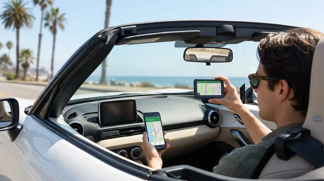
Quick Summary:
- Sat nav add-ons may cost more than a local data plan.
- Download offline maps before pick-up for deserts, parks, and mountains.
- Check USB ports plus CarPlay or Android Auto support.
- Phone navigation helps with traffic, but needs power and coverage.
When arranging car hire in California, the navigation choice feels simple until you hit LA interchanges, Bay Area toll lanes, or remote stretches of Highway 1 with patchy signal. Rental sat nav units can be convenient and predictable, but they add a daily fee and can feel dated compared with Google Maps, Apple Maps, or Waze. On the other hand, relying on your phone means thinking ahead about data, charging, and compatibility with the vehicle’s infotainment.
This guide compares typical sat nav add-on costs versus phone navigation, then runs through the practical preparation steps that make either option work smoothly. The aim is not to push one choice for everyone, but to help you avoid the common problems: surprise charges, dead batteries, missed turns in low coverage areas, and a screen you cannot safely mount.
What a rental sat nav add-on really buys you
A sat nav add-on is usually a dedicated GPS unit provided by the rental company, sometimes a built-in navigation package in the car, depending on fleet and location. The main benefit is that it does not depend on mobile data, so it keeps routing even when your phone loses signal. It also avoids roaming anxiety if you are visiting from abroad and have not sorted a US SIM or eSIM.
The downsides are mostly about value and user experience. Fees vary by provider and season, but sat nav add-ons are commonly charged per day, and the total can become one of the largest extras on a week-long trip. Dedicated units may also have slower address entry, older map data, and weaker traffic awareness than phone apps. In heavy congestion, like around LAX or the I-405, live traffic rerouting is where phones usually shine.
If you are collecting near Los Angeles, it helps to check what your vehicle class typically includes. Some newer cars provided through Enterprise car rental at Los Angeles LAX may support smartphone projection, which reduces the need for a paid device.
Phone navigation costs, data, and roaming, what to consider
Using your phone for navigation is often the cheapest route for car hire travellers, but the cost depends on your mobile plan. If you already have a roaming bundle that includes the US, your incremental cost may be minimal. If not, the most predictable solution is a local eSIM or SIM with enough data for maps. Navigation alone is not usually data heavy, but it becomes heavier if you use satellite view, frequent reroutes, or music and podcasts over mobile data.
Also consider that maps are only one part of the journey. Searching for fuel, parking, and EV chargers, checking opening hours, and reading reviews can increase data use. If you intend to rely on your phone completely, it is worth having a data cushion rather than cutting it fine.
Coverage is generally strong in metro areas such as San Diego, San Jose, and Santa Ana, so phone navigation is reliable for city driving and airport runs. If your pick-up is in the Bay Area, routes from Alamo car rental in San Jose SJC will usually have robust signal, but weekend trips into the Santa Cruz Mountains or up toward Tahoe can still introduce gaps depending on carrier and terrain.
Offline maps, the simplest safety net for California road trips
If there is one preparation step that consistently prevents stress, it is downloading offline maps before you arrive at the counter. Offline maps help in national parks, mountain drives, and desert routes where you might have full GPS reception but weak mobile data. They also reduce battery drain and data usage because the map tiles are already stored on your device.
Before pick-up, download offline areas that cover your likely itinerary: Southern California cities, any park regions, and the corridors between them. Then test it by switching your phone to aeroplane mode and plotting a route. You want to confirm you can still search for key locations you may need, including your accommodation and the airport return area.
Traffic, tolls, and the reality of California driving
California traffic patterns can change quickly. Phones tend to outperform dedicated sat nav devices in three places: complex interchanges, sudden incidents, and urban congestion with many alternative routes. Apps that incorporate real-time conditions can suggest faster options and provide better lane guidance in dense areas.
However, you should sanity-check suggested shortcuts. Some routes cut through residential areas or require multiple turns that are not ideal when you are adjusting to a different car. If you are driving in San Diego, you might prefer a more straightforward route even if it is a few minutes slower. Travellers arranging car hire at San Diego Airport SAN often face busy merges shortly after leaving the terminal area, so a calm, predictable route can be safer than constant rerouting.
Tolls are another consideration. Both sat nav and phone apps can be configured to avoid tolls, but settings differ by device and app. In California, managed lanes and toll facilities can appear unexpectedly on major freeways. Check your navigation settings before setting off, and understand how your rental handles toll payments so you do not make routing decisions blindly.
Power, mounting, and in-car tech, the practical difference maker
Phone navigation is only as good as your battery and your ability to view the screen safely. California days can be bright, and you do not want to hold your phone or glance down constantly. Plan for three things: charging, secure mounting, and infotainment compatibility.
Charging: confirm whether the car has USB-A, USB-C, or a 12V socket, and bring the right cables. Many newer vehicles have USB-C only. If you have multiple passengers, a multi-port car charger can help, but ensure it fits the socket type and does not interfere with the gear selector or storage compartment.
CarPlay and Android Auto: if the vehicle supports smartphone projection, it is often the best of both worlds. You get phone apps on the in-car screen, voice control, and less temptation to look down. Some cars require a USB connection, others allow wireless, and some require enabling a setting in the infotainment menu. Do a quick setup while parked at the rental location, not at the first junction.
Mounting: check local rules and common sense safety. A stable vent or dash mount keeps the screen in your eyeline. Avoid suction mounts that block visibility or fail in heat. If you prefer not to mount anything, CarPlay or Android Auto becomes even more valuable.
If you are picking up around Orange County, where routes can jump between freeways, having a larger screen helps with lane discipline. Drivers opting for a larger vehicle via SUV rental in Santa Ana SNA may appreciate the higher seating position, but should still prioritise clear navigation display to reduce last-second lane changes.
A simple decision framework for your California car hire
If your trip is mostly urban, like LA to San Diego with hotel parking, phone navigation usually offers better traffic and easier searching, as long as you prepare for charging and download offline maps. If your trip includes national parks, remote highways, or mountain areas, phone navigation can still work well, but only if you have offline maps and a power plan. If you do not want any setup, or you cannot guarantee data access, a rental sat nav provides predictability, though at a higher cost.
Before you finalise extras, do a quick checklist: confirm your roaming or eSIM, download offline maps, pack the correct cables, and allow five minutes at pick-up to pair Bluetooth and test CarPlay or Android Auto. Those steps usually deliver the best experience without paying extra daily fees.
FAQ
Q: Will my phone GPS work in California without mobile data?
A: Yes. GPS positioning works without data, but you need offline maps downloaded to see roads and calculate routes reliably.
Q: Is rental sat nav better for driving to national parks?
A: It can be, because it does not rely on mobile data. A phone with offline maps and a charging plan is usually just as dependable.
Q: What should I check in the hire car before leaving the car park?
A: Confirm USB port type, test charging, pair Bluetooth, and try CarPlay or Android Auto while stationary.
Q: Do navigation apps handle California toll roads correctly?
A: Usually, if settings are configured. Check whether “avoid tolls” is on, and understand your rental’s toll payment method.
Q: What is the safest way to view directions while driving?
A: Use CarPlay or Android Auto where available, or a secure mount positioned without blocking your view.