


VERIFIED REVIEWS


About renting a car in Kansas
Best Car Rental Deals
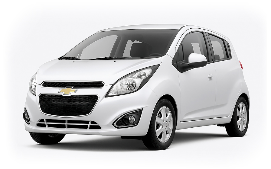
Chevrolet Spark | Automatic
SMALLor Small similar
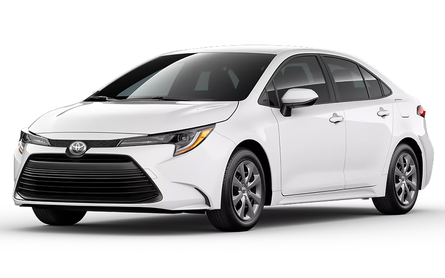
Toyota Corolla | Automatic
SEDANor Sedan similar
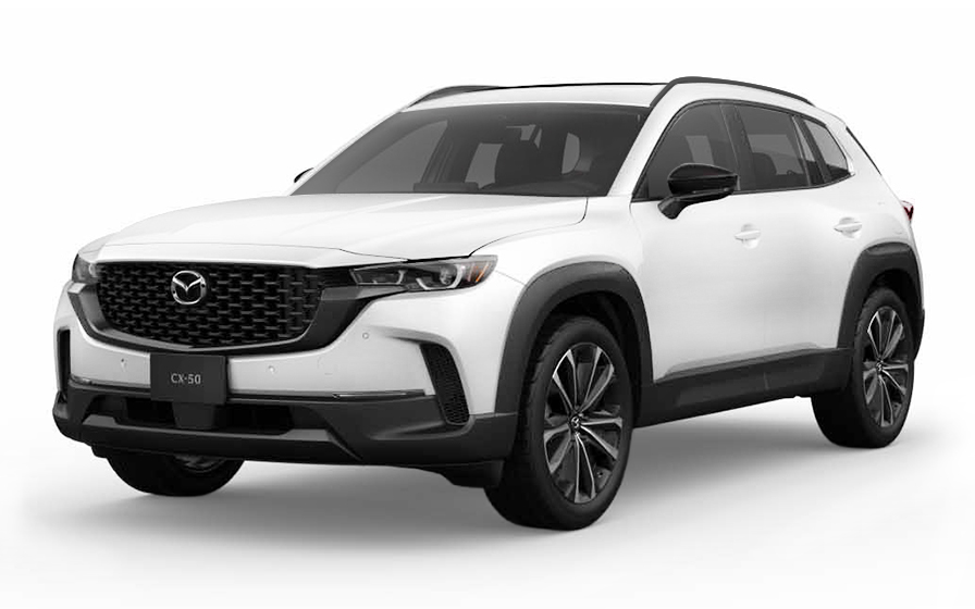
Mazda CX 50 | Automatic
SUVor SUV similar

Audi A4 | Automatic
LUXURYor Luxury similar

Ford F150 | Automatic
PICKUPor Pickup similar

Ford Mustang Convertible | Automatic
CONVERTIBLEor Convertible similar

Chrysler Pacifica 7 Passengers | Automatic
MINIVANor Minivan similar
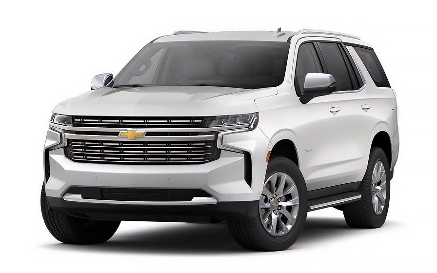
Chevrolet Tahoe 7 Passengers | Automatic
7 PASSENGERSor 7 Passengers similar

Audi A6 | Automatic
or 7 Passengers similar
Ford Transit 15 Passengers | Automatic
12 PASSENGERSor 12 Passengers similar

Jeep Gladiator | Automatic
JEEPor Jeep similar
Traveler Tips & Price Insights
When is the best time to book a rental car in Kansas?
You should book your rental car approximately 7 days before your trip to get a below-average price.
Price Trend (Last 90 Days)
What is the most popular rental car type in Kansas?
sedan rental cars (sedan or similar) are the most popular option in Kansas.
Popular Car Types
Which is the cheapest car rental agency in Kansas?
In the last 72 hours, the cheapest rental cars were from Avis at /day.
Average Price by Rental Company
Frequently Asked Questions
What does my Hola Car Rentals booking in Kansas include that other companies don't offer?
Hola Car Rentals is the only premium partner of the top car rental brands operating in Kansas, giving you exclusive access to our All Inclusive+ rate. This rate includes benefits that no other company can match:
- Free liability coverage starting at US$ 300,000 in case of an accident (applies only to certain rates and itineraries)
- Toll cashback: recover up to 5% of the reservation's total value for toll charges incurred during your rental period
- Premium travel medical assistance providing up to US$ 150,000 in coverage for a maximum of 5 passengers in case of a medical emergency, excluding pre-existing conditions
- No Extra Charges© guarantee: if the counter charges you for something not listed on your confirmation and not an optional add-on you accepted, Hola Car Rentals will work to remove or reimburse the charge after verification
All of this comes at no extra cost, ensuring a fully protected rental experience and peace of mind throughout your trip in Kansas.
Will I face unexpected charges at the counter when I rent a car in Kansas through Hola Car Rentals?
No. With Hola Car Rentals, all costs and charges for your booking in Kansas are clearly shown at the time of reservation and in your confirmation email, so you know exactly what you are paying before you arrive at the counter.
On top of that, every Hola Car Rentals booking includes the No Extra Charges© guarantee. This is a pricing guarantee (not insurance) that protects you if the counter in Kansas charges you for something that was not listed on your confirmation and was not an optional add-on you accepted. If that happens, Hola Car Rentals will work with the rental partner to remove or reimburse the charge after verification.
The only costs outside this guarantee are:
- Optional add-ons you choose at the counter (GPS, child seats, prepaid fuel)
- Usage-based charges (tolls, fuel shortfall, traffic fines)
How do I pick up my rental car at Kansas City International Airport (MCI)?
At Kansas City International Airport (MCI) in Kansas, rental car counters are not inside the terminal. After collecting your bags, exit baggage claim and board the free gray Rental Car Shuttle, which runs every 5 to 20 minutes from the terminal median.
The shuttle takes approximately 5 minutes and drops you at the consolidated rental car facility (CONRAC). Your rental counter, whether Alamo, Avis, Budget, Enterprise, Hertz, National, Payless, or another partner, is located on the top floor of that CONRAC building.
Once you complete the paperwork at the counter, you select and drive out your vehicle directly from the facility. Allow an extra 10 to 15 minutes beyond your counter appointment for the shuttle transfer when planning your Kansas arrival.
What are the rental car counter hours at MCI and ICT airports in Kansas?
Counter hours at Kansas airports vary by partner and location, so always confirm the hours on your booking confirmation before you travel.
At Kansas City International (MCI), typical hours include:
- Enterprise: 5 AM to midnight daily
- Payless: Sunday through Friday 7:30 AM to 1 AM, Saturday 7:30 AM to 11 PM
At Wichita Dwight D. Eisenhower National Airport (ICT) in Kansas, typical hours include:
- Budget: Sunday 8 AM to midnight, Monday through Friday 7 AM to midnight, Saturday 8 AM to 11 PM
- Payless: similar hours to Budget
Counters at both Kansas airports close overnight. If your flight arrives after midnight, your reservation may not be processed until the counter reopens the following morning. If you anticipate a very late arrival in Kansas, contact the rental partner in advance to confirm availability.
How does after-hours car return work at Kansas airports?
Yes, after-hours returns are available at major Kansas airports, but the process differs by location and partner.
At Kansas City International (MCI) in Kansas:
- Alamo accepts returns 24 hours a day; leave keys in the vehicle or drop box
- Enterprise has a drop box located by the kiosk
- Avis accepts returns under the canopy area
At Wichita Eisenhower Airport (ICT) in Kansas, Budget and Payless ask you to park and lock the vehicle, then place your keys and rental contract in the counter drop box.
For any after-hours Kansas return, refuel before arriving at the facility to comply with the full-to-full fuel policy. Take a photo of the fuel gauge and odometer as evidence. Keep your fuel receipt. The rental agreement is processed the next business day when the counter reopens, and any post-rental charges such as tolls or fuel shortfalls may appear on your card days later.
Does my Kansas rental car booking include Tolls Cashback for the Kansas Turnpike?
Yes, all bookings made through Hola Car Rentals include Tolls Cashback, which reimburses up to 5% of your total booking value for tolls paid during your rental, including tolls on the Kansas Turnpike (also known as the Ike).
The Kansas Turnpike runs from the Oklahoma border in the south to the Nebraska border in the north, passing through Wichita, Topeka, and Lawrence. Tolls are distance-based and calculated by your entry and exit points.
To claim your Kansas Tolls Cashback after returning the vehicle:
- Email [email protected] within 30 days of vehicle return
- Include your Hola Car Rentals reservation confirmation
- Attach a copy of the rental agreement signed at pick-up
- Attach a receipt or statement showing the toll charges paid
Refunds are issued to the original payment method and typically process within 7 to 10 business days after approval. Late submissions received after 30 days are not accepted.
How do I pay tolls on the Kansas Turnpike without a K-Tag?
On the Kansas Turnpike, you can pay tolls with cash, a major credit card, or a K-Tag (Kansas's electronic transponder) at most plazas. Note that E-ZPass is not accepted on the Kansas Turnpike.
At standard plazas, you receive a ticket when you enter via a Ticket or Cash lane and pay the distance-based toll when you exit at a Cash or Self-Pay lane using US cash or a major credit card.
One important exception: Exit 53A in Wichita is a cashless-only plaza. If you pass through it, you must pay using a K-Tag or submit an online payment by license plate within 10 days. Driving through without paying triggers a violation charge.
If you rent a car in Kansas, your vehicle likely already has a toll transponder installed. At the counter you can enroll in the rental partner's toll program, which charges a daily convenience fee (typically US$4.95 to US$10.99 per day, depending on the partner) plus actual toll amounts. If you prefer to pay manually at Kansas Turnpike plazas, inform the counter agent so they can note your preference on the agreement.
What documents do I need to pick up a rental car in Kansas?
To pick up a rental car in Kansas, you must present all documents in physical form. Digital copies are not accepted at the counter.
- A valid, original driver's license in the main driver's name
- A major credit card with the driver's name printed on the card, used for the security deposit hold
- A passport or valid government-issued photo ID
- Your booking confirmation or printed voucher
- Round-trip flight or cruise tickets (required for international visitors)
If your driver's license is not in English and does not use a Latin (Roman) alphabet, such as Arabic, Chinese, Japanese, or Cyrillic script, an International Driving Permit (IDP) is mandatory in Kansas. For other non-English licenses, an IDP is strongly recommended. The IDP is a translation only and must be carried alongside your original license.
Obtain your IDP in your home country before traveling to Kansas, as US issuers like AAA do not issue IDPs to non-US license holders.
Is a credit card required to rent a car in Kansas?
Yes, a major credit card is required to rent a car in Kansas. Debit cards and prepaid cards are not accepted for the security deposit hold.
The credit card must be:
- In the main driver's name, with the driver's name printed on the physical card
- A physical card presented at the counter (virtual or digital wallet cards are not accepted)
- A card with sufficient available credit to cover the security hold, typically US$300 to US$400 for standard vehicles at Kansas locations
Even if you prepaid your Kansas rental online, you must still present a physical credit card at the counter for the hold. The hold is a temporary authorization, not a charge, and is released after you return the vehicle. Your bank controls how quickly the hold disappears from your available credit, which can take up to 15 business days.
If you are traveling internationally to Kansas, notify your bank before departure to prevent fraud blocks on in-person authorizations.
Are there any driving rules unique to Kansas that visitors should know?
Yes, Kansas has several driving rules that visitors should be aware of before getting behind the wheel.
- Headlights and wipers: In Kansas, if your windshield wipers are running continuously, you are legally required to also turn on your headlights and taillights. This is a specific Kansas regulation that may differ from your home country.
- Texting while driving: All drivers in Kansas are prohibited from texting while driving. Learner's permit and intermediate license holders face additional cellphone restrictions.
- Seat belts: Kansas increased fines for seat belt violations to US$30 for drivers and passengers 18 and older. Seat belts are mandatory.
- Dust storms: If you encounter a dust storm while driving in Kansas, you must pull off the road, turn off all vehicle lights, and remain in the vehicle with your seat belt fastened.
- Rural roads: Kansas has the 4th largest public highway system in the US by miles, and 91% of crashes occur on non-interstate highways and local roads. Drive with extra caution on rural Kansas roads, especially in adverse weather.
- Bridges and overpasses: These freeze before road surfaces in Kansas winters, so reduce speed accordingly.
What travel assistance is included with my Kansas car rental booking?
Most bookings include travel assistance coverage provided by Terrawind Global Protection, which can be especially useful if you experience an emergency while driving in Kansas, including on remote rural highways or the Kansas Turnpike far from urban centers.
Core benefits typically include:
- Travel insurance with medical coverage for up to 5 passengers
- Legal assistance in case of an accident
- Compensation for luggage lost by the airline
- Flight cancellation insurance
This coverage applies only to non-North American customers. Residents of the United States and Canada do not qualify for this benefit.
If you need assistance during your Kansas rental, contact Terrawind 24 hours a day:
- Phone: +1 888 980 9992 (toll-free)
- WhatsApp: +1 208 910 1001
- Email: [email protected]
Have your Hola Car Rentals confirmation number ready when you call. Always check your booking confirmation for the exact coverage terms and limits that apply to your Kansas reservation.
What is the minimum age to rent a car in Kansas?
In Kansas, the minimum age to rent a car without additional surcharges is 25. Drivers aged 21 to 24 can rent but will be charged a daily young-renter surcharge at the counter, and most vehicle classes are restricted to renters 25 and older.
Vehicle classes typically restricted to drivers 25 and older in Kansas include full-size sedans, full-size SUVs, minivans, vans, convertibles, luxury, and premium vehicles. Drivers aged 21 to 24 are generally limited to economy, compact, intermediate, and compact SUV categories.
There is no blanket exception in Kansas equivalent to New York or Michigan, where state law requires rentals to drivers 18 and older. In Kansas, the standard partner minimum of 21 to 24 applies with a surcharge.
If you are a Latin American or Caribbean resident aged 21 to 24 renting through Avis or Budget in Kansas, check your Hola Car Rentals confirmation, as certain rates waive the young-renter fee for eligible travelers on qualifying vehicle categories. The waiver must be explicitly shown on your confirmation to apply at the Kansas counter.
Can I add an additional driver to my Kansas rental car?
Yes, you can add an additional driver to your Kansas rental car, but the additional driver must be physically present at the counter at pick-up with a valid driver's license.
Whether the additional driver fee is included or charged at the counter depends on your rate:
- If your Hola Car Rentals confirmation states additional driver is included, the first extra driver is free
- If not included, daily fees apply: Avis, Budget, and Payless charge approximately US$13 per day (max US$65); Hertz, Thrifty, and Dollar charge approximately US$13.50 per day (max US$189); Alamo, National, and Enterprise charge approximately US$15 per day
For Avis, Budget, and Payless rentals in Kansas, additional drivers must generally be at least 25 years old. All additional drivers must meet the same document requirements as the main driver, including an International Driving Permit if their license uses a non-Latin alphabet.
Only drivers listed on the Kansas rental agreement are covered by protections such as CDW and liability coverage. Never allow an unlisted person to drive the vehicle.
What is the fuel policy for rental cars in Kansas?
The standard fuel policy for Kansas rentals is full-to-full. You receive the vehicle with a full tank and must return it full to avoid additional charges.
To avoid fuel charges on your Kansas rental:
- Check the fuel gauge with the agent at pick-up and confirm the starting level is recorded on the rental agreement
- Take a photo of the dashboard showing the odometer and fuel gauge
- Refuel within approximately 10 miles of the Kansas return location before dropping off the car
- Keep your final fuel receipt showing the date, time, and station address
- For after-hours returns at Kansas airports, leave the receipt in the drop envelope and keep a photo of the full gauge
If you return the Kansas rental below the recorded starting level, the partner may charge a fuel shortfall at their own refueling rate, which is typically higher than pump prices, plus an administrative service fee. The fuel policy applies equally to standard gasoline and diesel vehicles. If you are renting a hybrid in Kansas, fill the gas tank as normal; electric vehicles follow a separate charging policy.
Can I pick up a car in Kansas and return it in a different city or state?
Yes, one-way rentals are available in Kansas, but a drop-off fee may apply depending on your route, the rental partner, and the vehicle class.
Common patterns for Kansas one-way rentals:
- Returning within the same Kansas city (for example, MCI airport to downtown Kansas City): often no drop-off fee
- Returning to a different Kansas city or a neighboring state: a drop-off fee typically applies and varies by distance and vehicle class
- Cross-border returns (for example, Kansas to Mexico or Canada): usually restricted or subject to high fees; confirm with the partner before booking
The drop-off fee for your Kansas rental is shown during the booking process under the section labeled to pay at destination on the checkout screen. It cannot be prepaid and is paid directly to the rental partner at the counter.
If you need to change your return location after booking your Kansas rental, be aware that the route will be repriced and the drop-off fee may change. Always review your confirmation to verify the fee before pick-up.
RENTAL CAR LOCATIONS

- Choosing a selection results in a full page refresh.
- Opens in a new window.
Suggested Currencies
- $ USD - United States Dollar
- € EUR - Euro
Other Countries
-
 Albania
-
 Algeria
-
 Andorra
-
 Angola
-
 Antigua & Barbuda
-
 Argentina
-
 Australia
-
 Austria
-
 Bahamas
-
 Bahrain
-
 Bangladesh
-
 Barbados
-
 Belgium
-
 Belize
-
 Benin
Benin
-
 Bermuda
-
 Bolivia
-
 Bosnia & Herzegovina
-
 Botswana
-
 Brazil
-
 British Virgin Islands
-
 Bulgaria
-
 Burkina Faso
-
 Burundi
-
 Cameroon
-
 Canada
-
 Cape Verde
-
 Cayman Islands
-
 Central African Republic
-
 Chad
Chad
-
 Chile
Chile
-
 Colombia
-
 Comoros
-
 Congo - Brazzaville
-
 Congo - Kinshasa
-
 Costa Rica
-
 Côte d’Ivoire
-
 Croatia
-
 Curaçao
-
 Cyprus
-
 Czechia
-
 Denmark
-
 Djibouti
-
 Dominica
-
 Dominican Republic
-
 Ecuador
-
 Egypt
Egypt
-
 El Salvador
-
 Equatorial Guinea
-
 Eritrea
-
 Estonia
-
 Eswatini
-
 Ethiopia
-
 Finland
-
 France
-
 Gabon
Gabon
-
 Gambia
-
 Germany
-
 Ghana
Ghana
-
 Greece
-
 Grenada
-
 Guatemala
-
 Guinea
-
 Guinea-Bissau
-
 Guyana
-
 Haiti
Haiti
-
 Honduras
-
 Hong Kong SAR
-
 Hungary
-
 Iceland
-
 India
India
-
 Iraq
Iraq
-
 Ireland
-
 Israel
-
 Italy
Italy
-
 Jamaica
-
 Japan
Japan
-
 Jordan
-
 Kenya
Kenya
-
 Kuwait
-
 Latvia
-
 Lebanon
-
 Lesotho
-
 Liberia
-
 Libya
Libya
-
 Liechtenstein
-
 Lithuania
-
 Luxembourg
-
 Madagascar
-
 Malawi
-
 Mali
Mali
-
 Malta
Malta
-
 Mauritania
-
 Mauritius
-
 Mexico
-
 Moldova
-
 Monaco
-
 Montenegro
-
 Morocco
-
 Mozambique
-
 Namibia
-
 Netherlands
-
 New Zealand
-
 Nicaragua
-
 Niger
Niger
-
 Nigeria
-
 Norway
-
 Oman
Oman
-
 Palestinian Territories
-
 Panama
-
 Paraguay
-
 Peru
Peru
-
 Philippines
-
 Poland
-
 Portugal
-
 Qatar
Qatar
-
 Romania
-
 Russia
-
 Rwanda
-
 San Marino
-
 São Tomé & Príncipe
-
 Saudi Arabia
-
 Senegal
-
 Serbia
-
 Seychelles
-
 Sierra Leone
-
 Singapore
-
 Sint Maarten
-
 Slovakia
-
 Slovenia
-
 Somalia
-
 South Africa
-
 South Korea
-
 South Sudan
-
 Spain
Spain
-
 St. Lucia
-
 St. Vincent & Grenadines
-
 Sudan
Sudan
-
 Sweden
-
 Switzerland
-
 Taiwan
-
 Tanzania
-
 Togo
Togo
-
 Trinidad & Tobago
-
 Tunisia
-
 Türkiye
-
 Turks & Caicos Islands
-
 Uganda
-
 Ukraine
-
 United Arab Emirates
-
 United Kingdom
-
 United States
-
 Uruguay
-
 Vatican City
-
 Venezuela
-
 Yemen
Yemen
-
 Zambia
-
 Zimbabwe
Driving license from:
-
Albania
-
Algeria
-
Andorra
-
Angola
-
Antigua & Barbuda
-
Argentina
-
Australia
-
Austria
-
Bahamas
-
Bahrain
-
Bangladesh
-
Barbados
-
Belgium
-
Belize
-
Benin
-
Bermuda
-
Bolivia
-
Bosnia & Herzegovina
-
Botswana
-
Brazil
-
British Virgin Islands
-
Bulgaria
-
Burkina Faso
-
Burundi
-
Cameroon
-
Canada
-
Cape Verde
-
Cayman Islands
-
Central African Republic
-
Chad
-
Chile
-
Colombia
-
Comoros
-
Congo - Brazzaville
-
Congo - Kinshasa
-
Costa Rica
-
Côte d’Ivoire
-
Croatia
-
Curaçao
-
Cyprus
-
Czechia
-
Denmark
-
Djibouti
-
Dominica
-
Dominican Republic
-
Ecuador
-
Egypt
-
El Salvador
-
Equatorial Guinea
-
Eritrea
-
Estonia
-
Eswatini
-
Ethiopia
-
Finland
-
France
-
Gabon
-
Gambia
-
Germany
-
Ghana
-
Greece
-
Grenada
-
Guatemala
-
Guinea
-
Guinea-Bissau
-
Guyana
-
Haiti
-
Honduras
-
Hong Kong SAR
-
Hungary
-
Iceland
-
India
-
Iraq
-
Ireland
-
Israel
-
Italy
-
Jamaica
-
Japan
-
Jordan
-
Kenya
-
Kuwait
-
Latvia
-
Lebanon
-
Lesotho
-
Liberia
-
Libya
-
Liechtenstein
-
Lithuania
-
Luxembourg
-
Madagascar
-
Malawi
-
Mali
-
Malta
-
Mauritania
-
Mauritius
-
Mexico
-
Moldova
-
Monaco
-
Montenegro
-
Morocco
-
Mozambique
-
Namibia
-
Netherlands
-
New Zealand
-
Nicaragua
-
Niger
-
Nigeria
-
Norway
-
Oman
-
Palestinian Territories
-
Panama
-
Paraguay
-
Peru
-
Philippines
-
Poland
-
Portugal
-
Qatar
-
Romania
-
Russia
-
Rwanda
-
San Marino
-
São Tomé & Príncipe
-
Saudi Arabia
-
Senegal
-
Serbia
-
Seychelles
-
Sierra Leone
-
Singapore
-
Sint Maarten
-
Slovakia
-
Slovenia
-
Somalia
-
South Africa
-
South Korea
-
South Sudan
-
Spain
-
St. Lucia
-
St. Vincent & Grenadines
-
Sudan
-
Sweden
-
Switzerland
-
Taiwan
-
Tanzania
-
Togo
-
Trinidad & Tobago
-
Tunisia
-
Türkiye
-
Turks & Caicos Islands
-
Uganda
-
Ukraine
-
United Arab Emirates
-
United Kingdom
-
United States
-
Uruguay
-
Vatican City
-
Venezuela
-
Yemen
-
Zambia
-
Zimbabwe