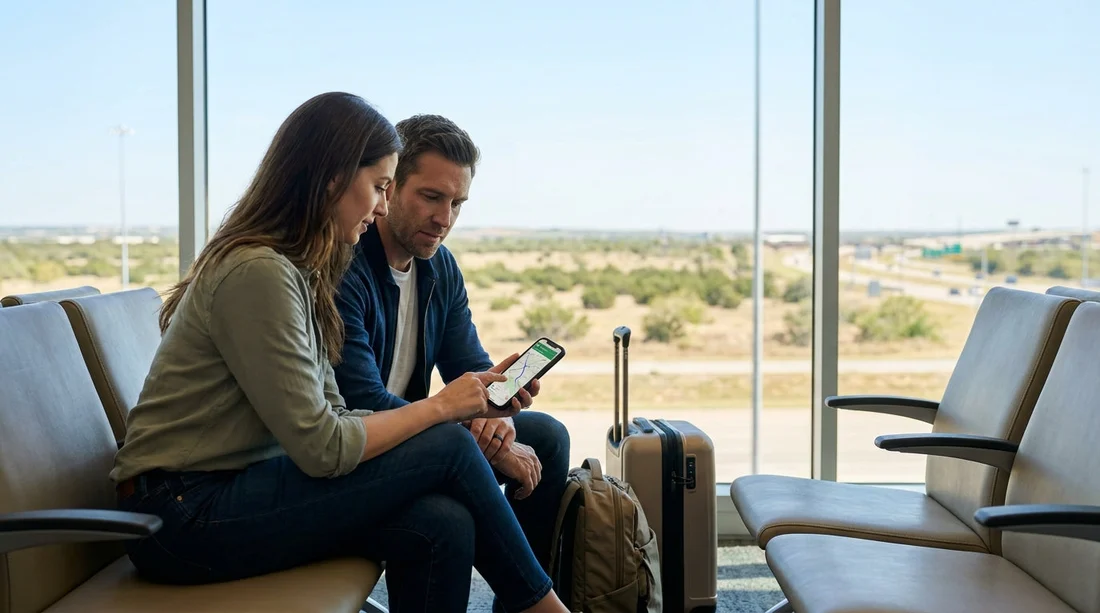
Quick Summary:
- Download an offline map of your Texas arrival city over Wi-Fi.
- Save the car hire pick-up address and terminal route as favourites.
- Pin key stops, fuel stations, and your first hotel before landing.
- Enable location services and test navigation in airplane mode.
Yes, you can navigate without mobile data using offline maps, and it is one of the simplest ways to feel confident leaving a Texas car hire location. In the US, your phone may connect slowly after landing, international roaming can be expensive, and airport pickup zones can be confusing when the map will not load. The solution is to prepare offline navigation before you travel, then rely on GPS for location while the map tiles and routes are stored on your device.
Offline maps work because your phone’s GPS chip does not need mobile data to determine where you are. What data normally provides is the map imagery and live route calculations. When you download maps in advance, you keep enough detail on your phone to plan a route, follow turn-by-turn instructions, and quickly reorient yourself if you take a wrong exit.
If your arrival is in a major hub, it helps to look up the exact pickup area and plan your first few turns. For example, if you are collecting near Houston airport, browsing the pickup options and location notes on Houston IAH car rental before you fly makes it easier to match your offline map pins to the real-world signage after you collect the keys.
What to download before you fly to Texas
Start with the city and suburbs around your arrival airport, plus the first destination you will drive to. If you are staying outside the city centre, include the corridor you will travel along, such as highways, toll roads, and ring roads. Offline map downloads are usually a selectable rectangle, so it is better to download a slightly larger area than you think you need.
Also download any “must not fail” areas: your hotel neighbourhood, the business park you are heading to, and a backup route that avoids tolls if you prefer. Texas interstates are straightforward, but exits come quickly around airports, and lane guidance is much easier when the map is already stored.
For travellers arriving at San Antonio International, you can use San Antonio SAT airport car rental as a reference point when saving the pickup area and your outbound route, then ensure the offline map covers the full loop from the terminal to your first stop.
Step-by-step: set up offline navigation for car hire pick-up
1) Choose your offline map app and update it. Google Maps and Apple Maps can both help with offline navigation, and there are specialist navigation apps too. Whatever you use, update the app on reliable Wi-Fi before you depart, because updates can be large and may interrupt downloads.
2) Download the offline area on Wi-Fi. Do this at home or in your hotel before your flight, not at the gate. Select the arrival city plus the routes to your first destination. If you are landing late, include the wider suburban area so you can still reroute if you miss an exit.
3) Save the car hire location and key addresses. Save your pickup location as a favourite, then save your first destination. Add your accommodation, meeting address, and at least one fuel station near the airport. This way, even if search is limited offline, you can navigate to saved places with one tap.
4) Pre-plan the first ten minutes of driving. The hardest part is leaving the airport road network. Look at the route out of the pickup area to the first major highway. Check which lane you need for the correct ramp, and note any toll road decision points. Texas airport exits can be multi-lane with fast-moving traffic, so a pre-visualised route reduces stress.
5) Turn on permissions and settings that offline navigation needs. Enable location services, allow your maps app to access location “while using”, and ensure Low Power Mode is not aggressively restricting background GPS. Set your phone clock to automatic and confirm the correct time zone when you land, because some apps rely on accurate system time.
6) Test before you fly. Switch to airplane mode, then open your maps app and try to start navigation to a saved location. You are checking that the map area really downloaded, that the route appears, and that turn-by-turn guidance begins. If it fails, expand the download area or re-download on Wi-Fi.
Common offline map issues at Texas airports, and fixes
“My blue dot moves, but the map is blank.” This usually means GPS is working but the area was not downloaded. Expand the offline area to cover the airport, nearby interchanges, and your first destination. It is also possible you saved a pin but did not store the map tiles around it.
“Routes won’t calculate without data.” Some apps can route offline only within the downloaded area. Ensure both the start and end points are inside your offline region. As a fallback, save a written route note for the first highway you need, such as “Terminal exit, merge to I-635 west”, so you can keep moving until the app catches up.
“The pickup area is confusing.” Airports often have multiple levels and separate roads for arrivals, departures, and rental car shuttles. Before you travel, check the pickup instructions and save a pin for the exact building or garage. If you are arriving into Dallas and expect a larger vehicle, reviewing the general area around SUV rental at Dallas DFW helps you understand the road layout you need to cover in your offline download.
“I need toll awareness without data.” Offline maps may not reflect real-time toll prices, but they can still show toll roads. If you want to avoid tolls, set that preference in your maps app before going offline. It is worth checking whether your planned route includes toll segments, then saving an alternative route that uses frontage roads or non-toll highways.
Offline navigation checklist for the moment you collect the keys
When you are standing at the car hire counter or at the vehicle bay, do a quick, practical check before pulling away:
Open your offline map and confirm the pickup location appears with nearby roads visible. If it looks sparse, zoom out and back in to refresh cached tiles.
Start navigation to your first destination while still parked. This is when you can safely adjust the route, choose between alternatives, and check the first turn.
Set up hands-free audio using Bluetooth or CarPlay, if available, so you are not glancing down at your phone while dealing with unfamiliar signage. If you use a phone mount, position it high enough to see lane guidance without blocking your view.
For Fort Worth and the DFW area, where roads can be wider and interchanges larger, having a calm first stopping point can help. If your plans involve collecting from a brand location, you can note the general area around Thrifty car rental Fort Worth DFW and ensure your offline region covers the airport perimeter and the first major junctions.
Extra tips for limited US coverage while driving in Texas
Download more than one option. If you are unsure which app will behave best offline, prepare two. You can keep one as the primary navigator and the other as a backup for map visibility.
Keep your phone charged. Offline navigation still uses GPS, which drains battery. Carry a car charger and a cable that fits your phone, and consider a power bank in case you need to navigate on foot before pickup.
Plan for your vehicle size. If you are travelling with family and collecting a larger vehicle, allow extra time to settle in and set your route before moving. With more passengers and luggage, it is even more important to avoid last-minute turns. If your arrival is in Austin, preparing offline routes to your accommodation can be paired with planning the space you need for bags, such as when considering minivan rental at Austin AUS.
FAQ
Can I use Google Maps offline to leave a Texas car hire location? Yes. Download an offline area that includes the airport, nearby interchanges, and your first destination. Then start navigation while parked, GPS will guide you without mobile data.
Will my phone’s GPS work in Texas without a SIM or data? Usually, yes. GPS uses satellites, not mobile networks. You still need downloaded maps or saved routes to avoid relying on online map loading.
How big should my offline map download be for an airport pick-up? Include the whole airport road network, plus at least 20 to 40 miles around it, and the complete route to your first stop. Bigger is safer if you might reroute.
Do offline maps show toll roads in Texas? Often they do, but details can vary by app and by when you downloaded the data. Set avoid-tolls preferences before going offline, and save a non-toll backup route.